

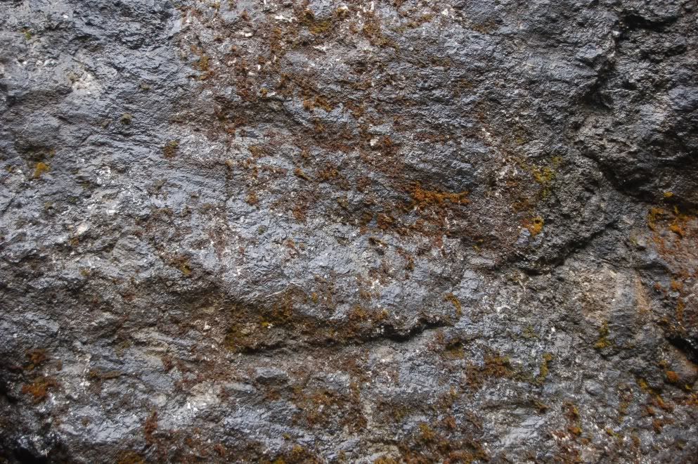
Look carefully at that last picture, at what underlies the base of the sill. That is a 2-3 inch layer of sediment. The sill's base is concordant with that sediment, so it is a sill, not a dike or other kind of intrusion. Though weathered now, the rock is probably best referred to as a hornfels- a non-foliated contact-metamorphosed sediment. The fact that this layer of sediment is tilted up also tells you that the whole outcrop has been folded to a dip of about 35 degrees.
To understand another reason why this little layer of mud is important, some background is needed. The coast range terrane, formally named "Siletzia" after the formation name of this basalt (Siletz River Volcanics), extends from southern Oregon, where the basalt is called the Roseburg Volcanics, up to the Olympic Mountains of NW Washington state, and southern Vancouver Island, where it's called the Crescent Formation. Oddly, it is older at the northern and southern ends, and youngest in the middle. The basement basalt of this block is thought to be the equivalent of a Hawaiian-style hot spot sitting atop an oceanic ridge- much like Iceland is today (though smaller in scale). A unit we visited later is called the Kings Valley Siltstone member of the Siletz River Volcanics- in other words, it's so restricted and so intimately associated with the SRV, that it doesn't merit a formation name of its own. It's considered part of- a "member" of- the SRV. That unit is derived from the erosion of basalt that erupted above the ocean, as part of a Hawaiian Island-like chain. The eroded basalt was then carried to the ocean and deposited as sediment. Later eruptions could dump more basalt on top of the sediment, and often did. In some places the resulting interfingering of basalt and sediment are quite spectacular.
I had probably visited this outcrop a half dozen times before, in trying to find the base of the sill to show someone there was no breccia, I realized this modest little layer of sediment was tucked in there. It's the earliest indicator I know of of the emergence of these now vanished islands from the Pacific Ocean, at some point probably around 55 million years ago. Though it's the least visually impressive, and certainly the hardest to find, part of this exposure, it puts a very tasty decorative frosting on what is already a nice cake of basalt.
Followup, Monday Sept. 27: Dana has posted some very nice photos and descriptions as well... I adore that little "baby pillow."
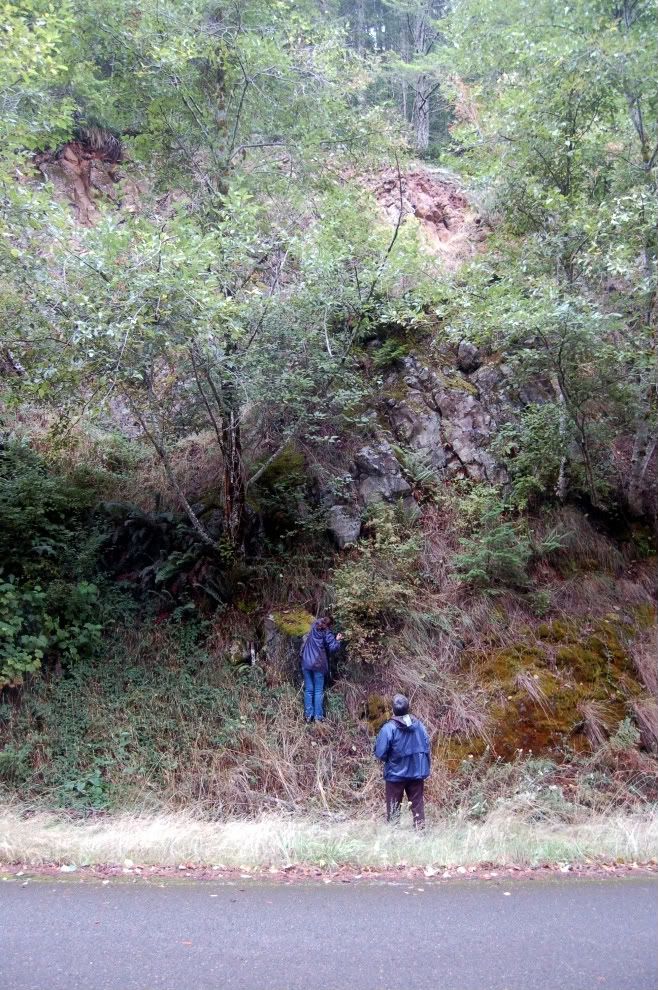
In the shot from Flash Earth below, I think this stop is close to the cross hairs in the middle of the image. Route 34 can be seen in the lower right (SE) corner, and the outcrop is about 2 miles past the Marys Peak Road turnoff.


2 comments:
I love this dual reporting of one field trip on two blogs.
Nice post. This makes me love OR geology all the more.
Post a Comment