Saturday, July 27, 2013

Geo 365: July 27, Day 208: Roll Over

It's subtle in this photo, and doesn't show up as well as in an old photo destroyed in the apartment flood, but the dip in the closer point appears steeper than the dip in the point under the shelter. My sense is that in this area, we're near the axis of an anticline- it would be a bit west, or to the right, from this perspective.

Photo run through Paint.net's autolevels routine to get through haze and glare. March 8, 2012. FlashEarth location.

Friday, July 26, 2013

Geo 365: July 26, Day 207: Cannonball Rock Again

More or less the same shot as yesterday's, with a shorter focal length, and less glare. See that post for a description of what's going on here. I'm thinking the larger concretions are maybe 18 inches/0.5 meters across.

Photo unmodified. March 8, 2012. FlashEarth location.

Thursday, July 25, 2013

Geo 365: July 25, Day 206: Cannonball Rock

Looking directly down onto Cannonball Rock, which was seen nearly end-on in Monday's photo. The "cannonballs" are in reality concretions- places where, for one reason or another, cementing minerals were prompted to crystallize out in greater abundance than elsewhere. For example, often, in the center of a broken open concretion, one can find some kind of fossil. Fossils are often composed of calcite, and they could act as a nucleation surface upon which calcium and carbonate in solution in the pore spaces of the sediment would preferentially crystallize.

Concretions are quite common in sedimentary rocks, and are one of the things that the geologically innocent often mistake as fossils in and of themselves. As implied above, they may contain one or more fossils, or they may not. They are first and foremost artifacts of loose sediment becoming lithified.

Photo unmodified. March 8, 2012. FlashEarth location.

Wednesday, July 24, 2013

Geo 365: July 24, Day 205: Angular Unconformity

The terrace I described yesterday can be seen clearly in the above photo, with a horizontal layer (maybe six feet thick, judging from the fence, which is about four feet high) of sediment deposited on the planed surface. The older layers of pre-existing rock, Eocene Coaledo Formation are dipping steeply to the east under that layer of sediment. Despite the title, I'm not entirely certain this is a true angular unconformity; the upper layer hasn't turned to real rock- it's unconsolidated.

Despite the naming uncertainty, the story this outcrop tells is the the same: Coaledo sediments were deposited in a deep pile of layers, and lithified. Then they were tilted up by folding associated with the ongoing collision between North America and the Juan de Fuca plate. Either during or following this folding, this area was lifted to sea level, and wave erosion took its toll, beveling the flat surface and removing the overlying rock. Given what I've seen of the sediment sitting on the top, it's a reasonable guess that this area spent at least a short time as a sandy beach. Then further uplift raised the whole shebang up to its current level- this likely happened in small increments over tens to hundreds of thousands of years, and was not entirely uniform. This same terrace is lower at Sunset Bay, a mile or two to the north, and higher at Cape Arago, a similar distance south.

Photo unmodified. March 8, 2012. FlashEarth location.

Tuesday, July 23, 2013

Geo 365: July 23, Day 204: Looking Back

Looking back at the fence where I took yesterday's photo, and the shelter behind it. The weather was really pretty nice on this March day, not too cold, and mostly sunny. The problem, as is often the case, is that it was windy. 50 isn't too bad when it's still, but with a brisk wind, it can quickly suck the heat out of you. The shelter was a gratefully found spot for a quick lunch. It's also a good location for whale watching when they're migrating. We didn't see any, though.

The question to be pondered here is why the horizontal platform and vertical cliffs? The platform, or terrace, was once at sea level, and relentless pounding by waves beveled it flat. Then vertical motion caused by Cascadia's ongoing subduction raised it to its present height, and waves started cutting into it again, leading to today's landscape.

Photo unmodified. March 8, 2012. FlashEarth location.

Monday, July 22, 2013

Geo 365: July 22, Day 203: Shore Acres

Somewhat randomly plunking myself down on another trip with Dana, this is the view to the north from outside the shelter at Shore Acres State Park, near Charleston and Coos Bay, Oregon. The rock is Eocene Coaledo Formation.

Photo unmodified. March 8, 2012. FlashEarth location.

Sunday, July 21, 2013

Sunday Funnies: Magical Edition

Funny to Me
Bits and Pieces
Cheezburger
"That's enough internet for today." Senor Gif
Tom Toles
Bizarro
Happle Tea
Funny to Me
Tastefully Offensive
Julia Segal
Bizarro
The Far Left Side
Derpy Cats
xkcd
Are You Talking to Meme?
Funny to Me
Senor Gif
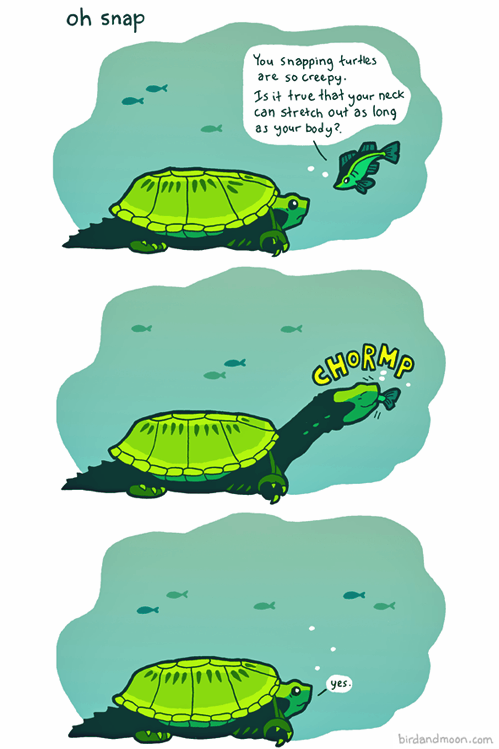
Bird and Moon
Bits and Pieces
Questionable Content
 Savage Chickens
Are You Talking to Meme?

Geo 365: July 21, Day 202: Next Horizon

After finishing a set of cores at one horizon, Chris moved along to the next one lower down. Ultimately, what he wants to do is look at the magnetic signature and sedimentary fabric of these fine-grained rocks to tease out some details of Coast Range tectonics.

Photo unmodified. July 2, 2013. FlashEarth location.