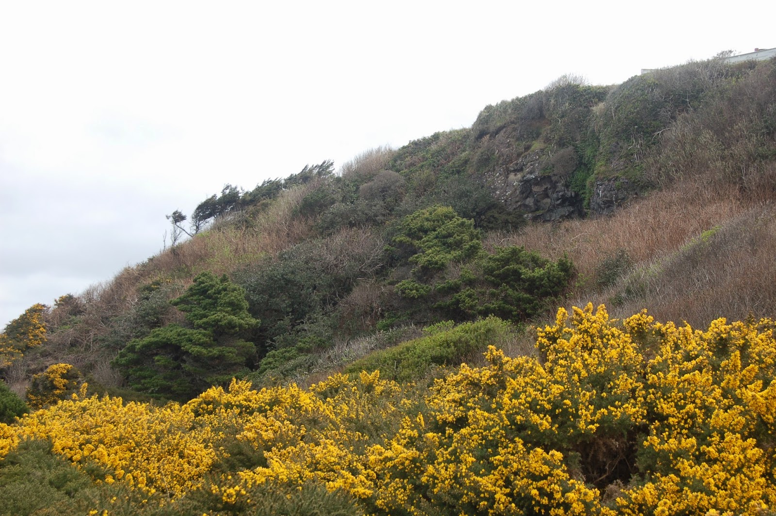
We're standing in one of the undeveloped lots between Oldtown Bandon and the south jetty, also the site of the blueschist quarry used to construct both the south and
north jetties. Blueschist can be seen exposed in the old quarry face, but it's largely overgrown now, and mostly developed private property. Another issue, only partially obvious in this photo, is the heavy growth of gorse. It's an invasive plant, and judging by what we saw on this trip, only slightly less superior than scotch broom at out-competing every other plant around. What you can't tell from the photo is that it is covered with long, stiff, and extremely sharp thorns. One does not simply walk into gorse-dor.
But more to the point of the last couple days, we're probably ten to fifteen feet above mean sea level here, and the marine terrace where the house sits, above, is another forty feet or so up. I'd feel mostly (though not absolutely) safe from the effects of a large tsunami there. Elevated marine terraces such as this are the norm on the Oregon coast, not the exception. Towns were founded as ports on post-glacial estuarine fill, deposited after the seas rose in response to the melting back of continental ice sheets. But more often than not, those low areas are bounded by higher terraces along either side of the stream that provides the shelter to the port itself- in the case of Bandon, the Coquille River. Many, if not most, larger Oregon coast towns have long outgrown the relatively restricted bottomlands, and now house the bulk of their residents and businesses above the expected crest of a Cascadia-initiated tsunami. I can see the economic incentive in permitting low areas, such as where I'm standing, to be developed (easier access to shore, better viewscape, equals much, much higher property value, and in turn, higher property tax revenue), but
as I said yesterday, it seems irresponsible, to say the least.
Photo unmodified. March 9, 2012.
FlashEarth location.


