Saturday, October 18, 2014

Geo 730: October 18, Day 656: Stonecrop

Poking around on the roadcut across from the pullout, many of the joints were inhabited by these pretty little succulents. I don't know plants terribly well, but I'm guessing this is some kind of Sedum, a very diverse genus of plants also known as stonecrops. They seem, in my experience, to be good pioneers, and are some of the earliest colonizers of fresh rock exposures before soil development has progressed very far.

Followup: My friend Bob tells me I "almost had it." It's Sedum oreganum, commonly known as Oregon stonecrop. I shoulda known.

Photo unmodified. July 15, 2014. FlashEarth Location.

Friday, October 17, 2014

Geo 730: October 17, Day 655: Otter Crest Rockfall

This was just a random stop- "Oh, look. A pullout. Let's see what we can see." And as you can see from yesterday's post, there's a nice view overall. But there's also a very nice example of a coastal rockfall. The pounding surf undercut and weakened the headland. Ultimately unable to support itself, a large chunk collapsed into the ocean, leaving an impressive pile of boulders. Coastal landforms, even this resistant block of Columbia River Basalt, are short-lived in such an energetic environment. Of course, "short-lived" is always a relative thing, geologically speaking.

Photo unmodified. July 15, 2014. FlashEarth Location.

Geo 730: October 16, Day 654: Otter Crest and Otter Rock

I'm still not convinced I have the place names down correctly for this area, but I think the headland is Otter Crest, while the island farther out and to the south is Otter Rock. And of course, currently, there are no native otters in Oregon. There is a Washington population, and a California population, and occasionally one or a few will come into our state. But other than otters in captivity at the Oregon Coast Aquarium in Newport, and (I think) at the Oregon Zoo in Portland, we have none native. On the other hand, we do have plenty of Columbia River basalt in these two resistant rocks. Frankly, I'd rather have less CRB and more sea otters.

Photo unmodified. July 15, 2014. FlashEarth Location.

Wednesday, October 15, 2014

Geo 730: October 15, Day 653: The View for a Twofer

I figured there must be a spot like this somewhere, and there are probably others as well. But I found a place right next to the parking lot on the top of Marys Peak where you can see from the Cascade Arc all the way out to the subduction zone, simply by turning around. Above, you should easily be able to pick out Mount Jefferson on the horizon above the right end of the sign.
And in this one, the glint off the Pacific Ocean is partly swamped by the glare from the setting sun, but is most noticeable on the right horizon next to the bathroom, and in the center through the low point in the tree foliage. The horizon line can be shown trigonometrically to be about 75 miles away, which is roughly where the Juan de Fuca plate subducts below the North American Plate. There is something both exhilarating and gut-wrenching to understand that you are standing on what I describe as a single piston of the solid earth's engine.

There is a gated access road up to the telecommunications facilities on the peak itself; this spot is just behind the gate, on the side away from the parking area. Tomorrow, I'll return to our July coast trip, but for today and the previous two days, I wanted to provide a sneak peak at the geogalavanting we did last week.

Photo unmodified. October 8, 2014. FlashEarth Location.

Tuesday, October 14, 2014

Geo 730: October 14, Day 652: Sea Lion Cave Sans Sea Lions

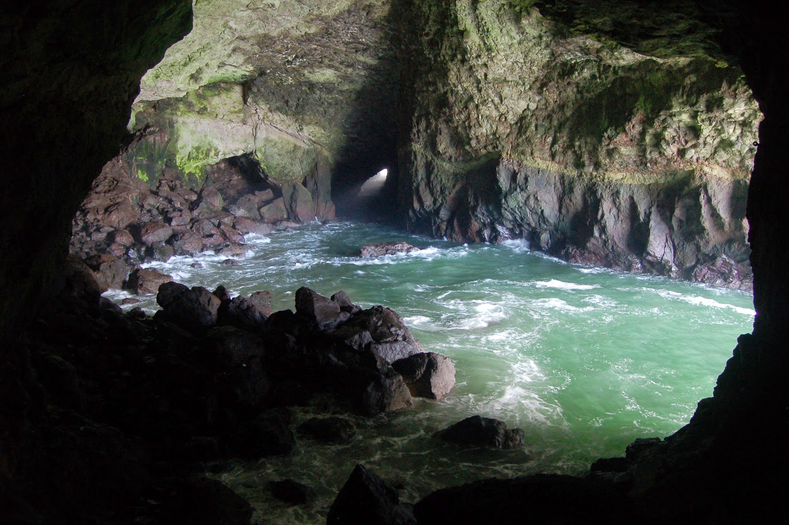
Friday, we drove down to Florence, and after lunch, stopped briefly at Darlingtonia Wayside. Then we wound our way up onto the headland. Dana was not particularly enthusiastic about Sea Lion Cave, perceiving it- accurately, to an extent- as "just a tourist trap." I also have mixed feelings about it, often describing it as a very expensive elevator ride. On the other hand, it truly is a world-class sea cave. Whether it is, as they claim, the world's largest is debatable, and certainly depends on what metric you choose: Area? Length? Volume? Height? Bother to the question; it's irrelevant.

The geology here was what I was after, but the sea lions are a really nice bonus. When I saw the utter lack of pinnepeds on the monitor in the shop area, I was starting to wonder if this really was a good time to go. Then I heard the clerk explaining to a prior customer that sans sea lions, there was a two dollar discount, AND they stamp the receipt for a free pass any time in the following year. So we'll be back here before too long.

Dana and B. were duly impressed. That $36 was not wasted.

Photo unmodified. October 9, 2014. FlashEarth Location (approximate; it's underground).

Monday, October 13, 2014

Geo 730: October 13, Day 651: A Break From The Coast

I'll be taking a quick break from our coast trip this past July to preview some of the spots Dana, B. and I visited on our geogalavanting last week. Anne Jefferson introduced us to Upper Proxy Falls last year on her hydrology tour of the upper McKenzie, and I had been back to it with Hollie Oakes-Miller later in the summer, but I had never gone down to the lower falls. Oh. My. It is completely glorious. The upper viewpoint is quick and easy to get to, and I was content to just sit and space out at the beauty of the thing while Dana and B. scrambled down for a closer view near the base. It's not easy to get a sense of scale here; this spot is probably about a fifth to a quarter of a mile from the base of the falls. However, according to this source, the drop is 226 feet. This is an excellent example of a hanging valley. While a large glacier gouged out the valley I'm sitting in, a much smaller tributary glacier didn't incise as deeply in that side drainage. As a result, the stream courses down a side valley, then drops over the sheer side into the larger valley. The topo map at the link shows the landform quite well.

Photo stitched in HugIn. October 9, 2014. FlashEarth Location (approximate).

Sunday, October 12, 2014

Geo 730: October 12, Day 650: Boiler Bay Midden

Middens are a common sight along the coast; I posted a photo of another one in April of last year. In places where mollusks are abundant, which are particularly obvious along rocky shores, native people would harvest them, carry them back up to the terrace level, and discard the shells into piles that would accumulate for centuries. Soil accumulated around and over these piles, preserving them until erosion exposed them again.

Photo unmodified. July 15, 2014. FlashEarth Location.

Sunday Funnies: "Is It Working Yet?" Edition

Sober in a Nightclub
Barry's coffee hasn't started working yet. Sober in a Nightclub
I Really Like Her Mane
What Would Jack Do?
Wrong Hands
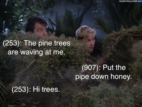
Texts From TNG
Channel Ate
Happy Jar
 Texts From TNG
Very Demotivational
Via Tastefully Offensive
Lunar Baboon
 "How I feel when I finally graduate" What Should We Call Grad School?
Tastefully Offensive
Bad Newspaper
Poorly Drawn Lines
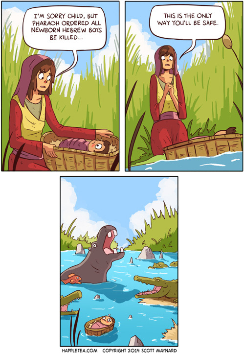
Happle Tea
Nedroid Comics
Tastefully Offensive
Bad Newspaper
Very Demotivational
Clay Bennett
Senor Gif
Texts From TNG
Tastefully Offensive
Savage Chickens
Danziger
Bad Newspaper
Very Demotivational
Very Demotivational
Wil Wheaton
Fowl Language Comics
Oh. No, we don't. Tastefully Offensive
Tastefully Offensive
... or a dog, for that matter. EB Misfit