Saturday, April 20, 2013

Geo 365: April 20, Day 110: Cold Shoulder

Intruding against the older, cold breccia, the basalt in the dike at the same spot as yesterday formed a chilled margin: a markedly finer-grained layer where the magma quenched and solidified immediately upon emplacement. If you look at the first photo in yesterday's post, it's pretty obvious, especially on the left side of the dike; this is just kneeling down and looking at it from an oblique angle. In this particular case, the chilled margin tells you nothing that isn't immediately obvious from other clues. Hopefully, though, within the next few weeks, I'll have some nice photos- and maybe hand samples- of a situation where the chilled margins of intrusions provide a useful relative dating tool.

Photo unmodified. September 21, 2010. FlashEarth Location.

Friday, April 19, 2013

Geo 365: April 19, Day 109: Vesicles, Close and Closer

Looking directly down onto a basalt dike in the "Tidepool Area" at Cape Perpetua State Park. There are tidepools everywhere in the rocky shore areas (as opposed to the sandy areas), but this platform, maybe a half mile south of the point with Devil's Churn on its north side, is considered the best spot for them.
I've mostly limited myself to one photo per day, but these two need to be paired. The first shows the overall width of the dike, and its relationship to the surrounding breccia, but the chain of vesicles down the middle is not terribly obvious. Zooming in for the second, the vesicles really pop out, but a lot of context is lost. The lens cap (52 mm) has not been moved, though, and between the two photos, you can see that the vesicles are quite concentrated toward the center of the dike.

I'm not absolutely positive why that is, but a reasonable guess is that the magma's volatile component was excluded from the minerals as they solidified toward the center, concentrating those gasses there, where they finally exsolved. The fact that there are vesicles suggests that either the intrusion was pretty near the surface (low pressure), or that the cooling, shrinking magma was, in the final stages of solidification, able to accommodate the exsolving bubbles- and possibly both conditions contributed.

Photo unmodified. September 21, 2010. FlashEarth Location.

Thursday, April 18, 2013

Geo 365: April 18, Day 108: Midden

It's not terribly clear at this scale, but if you click to enlarge, you should be able to see that the soil exposed under the grass is chock full of shells. This is a midden, essentially a garbage dump from the remains of Native Americans feasting on the readily available shellfish in the tidepools at what is now called Cape Perpetua.

Photo unmodified. September 21, 2010. FlashEarth Location.

Wednesday, April 17, 2013

Geo 365: April 17, Day 107: Tafoni Toes

Tafoni weathering in a basalt dike at Cape Perpetua State Park. This type of cavernous weathering does not seem to be well-understood, but I definitely associate it with salty environments. Here, the salt is from spray in the surf. In many other places I've seen it, it's associated with interior drainage, and the salt consequently concentrated in evaporative basins.

Photo unmodified. September 21, 2010. FlashEarth Location.

Tuesday, April 16, 2013

Geo 365: April 16, Day 106: Twinkle, Twinkle

A sea star and anemones in a tidepool at Cape Perpetua. How is this geology? You don't see tidepools unless the shore is rocky and resistant, like the basalt here. Anemones and sea stars do not live on sandy beaches. So the mere fact that we're seeing such creatures- even if I showed you nothing but the above photo, with basically no rock discernible- tells you a great deal about the geology around you.

Photo unmodified. September 21, 2010. FlashEarth Location.

Monday, April 15, 2013

Good Words for a Bad Day

I've already posted this to Facebook and Twitter, but there's no harm in posting it yet again here. This resonates very, very strongly with me, and I hope as many people as possible read it and feel the same way.

Geo 365: April 15, Day 105: Tidepools and Turbulence

Looking south from the point at Devil's Churn, the precipitous headlands formed in the Yachats Basalt are apparent.We're standing on a wave-cut platform here; you can see the beveled, planar surface. That surface is by no means smooth, though, and lower areas contain numerous tidepools brimming with all sorts of fascinating creatures. Along the lower middle of the photo, notice how completely and tightly packed the rock has become with mussels! Also, in the upper left corner, the Cap Perpetua  visitor center makes another appearance.

Photo unmodified. September 21, 2010. FlashEarth Location.

Sunday, April 14, 2013

Sunday Funnies: Intermittent Edition

I have discovered some tricks to get this machine to cope with Firefox a bit better- it's still a hassle, but I can get my reading done each day, for the most part. Rawley has found a cheap replacement power source for the newer laptop, and it'll arrive at some unspecified point in the future. In the meantime, I make no promises with regards to the Funnies. Here's a few to keep you placated.
Funny to Me
GraphJam
 
Loading Artist
Sofa Pizza
Toles, via Hullabaloo
Cheezburger
Funny to Me
I posted this to Twitter with the comment, "Trying to describe Klamath-Siskyou Mountain geology." Blackadder
Funny to Me
Bizarro
See Mike Draw
jonaszimmer
 Ornery Bastard
Questionable Content
Derpy Cats
Tree Lobsters
Poorly Drawn Lines
Perry Bible Fellowship
Funny to Me
"Science has gone too far." Senor Gif
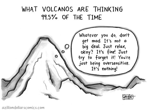
A Zillion Dollars Comics
Bits and Pieces
Fake Science
imgur
"RAWR!" Bits and Pieces
Bits and Pieces
Funny to Me
Blackadder
Cyanide and Happiness
Funny to Me
Funny to Me
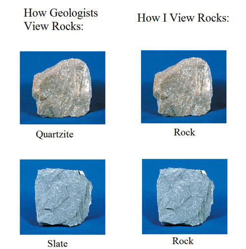
"Just when I think I'm getting the hang of identifying minerals in thin section" Geology is Hard
PhD Comics
Tastefully Offensive
Are You Talking to Meme?
 Cheezburger
"When you first learned about ophiolites" Geology is Hard (this is so true)

Geo 365: April 14, Day 104: Wave-Cut Platform

Looking north from the south side of Devil's Churn, on a typical, gloomy, Oregon coast autumn day. The marine terrace cut into the basalt is quite apparent- we're standing on a similar platform on this point. Another feature to note is how abruptly the mountain rises out of the ocean.

Photo unmodified. September 21, 2010. FlashEarth Location.