Saturday, December 20, 2014

Geo 730: December 20, Day 719: Timberline Trail

Timberline Trail circumnavigates all of Mount Hood, as the name implies, near timberline. Here it can be seen descending into the upper valley of the White River (unless you're taking the trail clockwise, in which case it's ascending from that valley). I did consider walking down there, but decided I didn't want to make the climb back up. According to the PDF at the link up front, the trail is "only" 36.6 miles/58.9 kilometers- I could've easily done it in two days, or a leisurely three, 30 years ago, but these days, not so much. This photo also does a good job of showing how persistent the snow is. We were probably right about 6000 feet here (the lodge is at 5960 feet), and that little finger of snow field up the valley appears to be below, or at least close to, our elevation.

Photo unmodified. October 10, 2012. FlashEarth location.

Geo 730: December 19, Day 718: Upper Salmon River

At the end of the dry season, this modest stream is barely a trickle. However, according to Wikipedia (see stats box on upper right), the Timberline area receives an average of 45 feet of snow each winter. (Note this is not the amount of snow on the ground at any time; it's total snowfall.) During spring melt, or during warm rain events, such as we're having today, Dec. 20, 2014, this small stream certainly swells to a torrent. Looking at all the loose rubble in and around the water, and noticing that the banks of the canyon are at a consistent angle of repose, it's easy to see how those high water events can lead to debris flows such as we witnessed earlier in the day at the White River Bridge. All this loose stuff is eager to get downhill.

Photo unmodified. October 10, 2012. FlashEarth location.

Thursday, December 18, 2014

Geo 730: December 18, Day 717: Upper Salmon Valley

The valley directly in front of us here is the upper end of the Salmon River. The pair of valleys beyond that are a tributary to the White River (closer), and the White River (farther). Palmer ice field/glacier appears to the right of the tree in the left middle, and Crater Rock and the Mount Hood summit are above that feature. The winds were from the east this day, so I don't think that cloud could be described as a lenticular.

Photo unmodified. October 10, 2012. FlashEarth location.

Geo 730: December 17, Day 716: Diurnal Stream?

The reason for the question mark in the title is that I'm not sure "diurnal stream" is a valid term, nor the correct one for this situation. Basically, snow melt from ice and snow fields above this spot doesn't melt during the night, so the water flow stops. Then, during the day, if it's warm enough, melting starts again, and the stream gets water. So this stream, at this point at least, flows in stop-and-start daily pulses. I'm not sure I've seen anything like this before, but thinking about it, it doesn't seem it would be all that unusual in alpine settings during the right part of the year. This is one of a series of photos I'd intended to post as animated gifs, but this set is too shaky, with too many out of focus or blurry. The second set has too much in shadow, and doesn't really illustrate the advancing water front very well. And the third, well, long time followers may remember I posted that gif nearly two years ago to mark the end of the first week in the Geo 365 series. That post includes a more complete description of how we happened to discover the nature of this stream, and how we found the daily front of the flow. In this photo, the leading edge is just below and to the left of the small cobble near the middle.

Photo unmodified. October 10, 2012. FlashEarth location.

Tuesday, December 16, 2014

Geo 730: December 16, Day 715: At Timberline

"Timberline" was not a concept I really had when I was growing up. Like "snowline," it wasn't applicable in Ohio. Simply stated, it's the alpine elevation above which climatic conditions are too harsh, too persistently, for trees to grow. In both cases, these lines appear sharp from a distance, but when you're "on" the lines, they're more ragged and not as clear cut. Here, there are clearly some trees that look as if they're doing well, but the one in the left foreground looks as if it might be struggling a bit. As we saw in yesterday's photo, Timberline Lodge is mostly wood, so fire hydrants are a necessity. Also, I suspect this is the approximate location of the fire hydrant line, too.

Photo unmodified. October 10, 2012. FlashEarth Location.

Monday, December 15, 2014

Geo 730: December 15, Day 714: Timberline Chimney

Inside Timberline Lodge, the lighting is dim, and it's not easy (especially as I get older) trying to hold my camera steady for good clarity. Above is the best shot I have of the chimney over the great hearth. This is native stone; I don't know if there was a dedicated quarry for the stonework in the lodge, or if they just used loose blocks laying around on the surface. Goodness knows, there's plenty of those. The lodge was built as a part of the WPA program in the late 30s, and dedicated by FDR in 1937, well before it officially opened to the public. The rustic nature of the lodge is evident here, but on our first pass, Dana and I had been stuck in the car for too long, and wanted to go stretch our legs with a walk. So after a few quick shots, we headed out to the mountainside.

Photo unmodified. October 10, 2012. FlashEarth Location.

Sunday, December 14, 2014

Geo 730: December 14, Day 713: Hood Summit

A closer view of the amphitheater below Mount Hood's summit, and Crater Rock in its center. The striated snowy area directly downhill from Crater Rock is the so-called "Palmer Glacier," though with no bergschrund, I'm not convinced this is actually a glacier rather than an ice field. Palmer is the only site in North America that offers year-round skiing (hence the striations), though I've heard conditions can get pretty awful before the fall snows start falling.

Photo unmodified. October 10, 2012. FlashEarth Location.

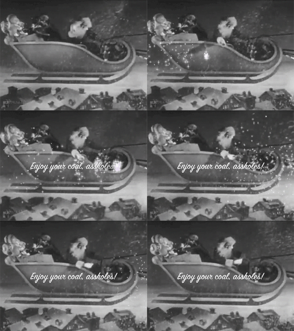
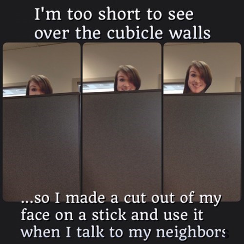
Sunday Funnies: Mistletoe Edition

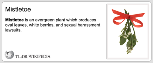
TL;DR Wikipedia
Bad Newspaper
Tastefully Offensive
"My contribution to lab meetings" What Should We Call Grad School?
"But I want surgery NOW!" Bad Newspaper
Tastefully Offensive
TL;DR Wikipedia
Tastefully Offensive
Sober in a Nightclub
Blackadder
Tastefully Offensive
Real life Kung Fu Panda. Blackadder
Cyanide and Happiness
Sober in a Nightclub
Bad Newspaper
Channel Ate
Maximumble
Tastefully Offensive
Very Demotivational
Kiersten White
Tree Lobsters
Blackadder
Mark Parisi
Non Sequitur
Savage Chickens
"So majestic..." Sober in a Nightclub
Bad Newspaper
Pie Comic
Very Demotivational
Matt Bors
Maximumble
"This escalator is out of service." Senor Gif
Kevin Farzad
Tastefully Offensive
Cheezburger
Cheezburger
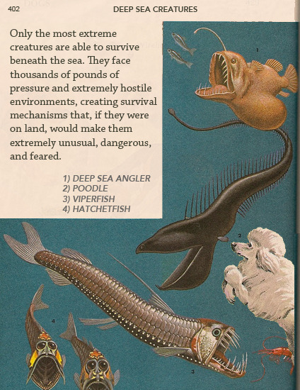
Fake Science
Via Wil Wheaton
Extra Fabulous Comics
Campanastan
Darius Whiteplume
"Important words for these trying times." Blackadder
Wil Wheaton