Most Mondays, at least when I remember, and from time to time on other days, I post a geology photo on Twitter. Now that I have time and a cooperative computer for blogging, I figured I'd repost some of those recent photos here- not everyone is interested in playing the Twitter game. To be clear, I tend toward things I've recently done and seen, but my Twitter geophotos have no real rhyme or reason; they're just images that appeal to me at the time. (They'll get bigger if you click on them.)
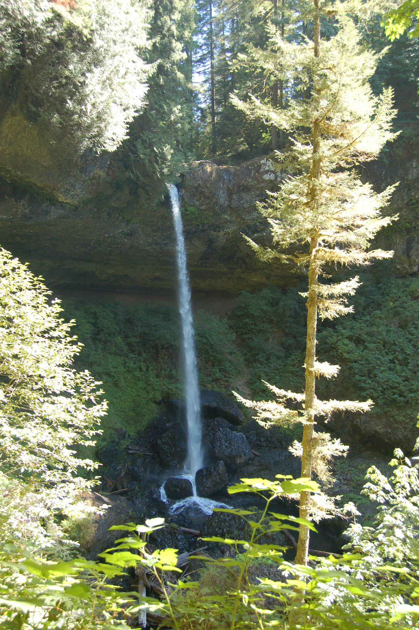
"Looking forward to Silver Falls tomorrow. North Falls plunge is 136 feet." (North Falls, Silver Falls State Park, Oregon)
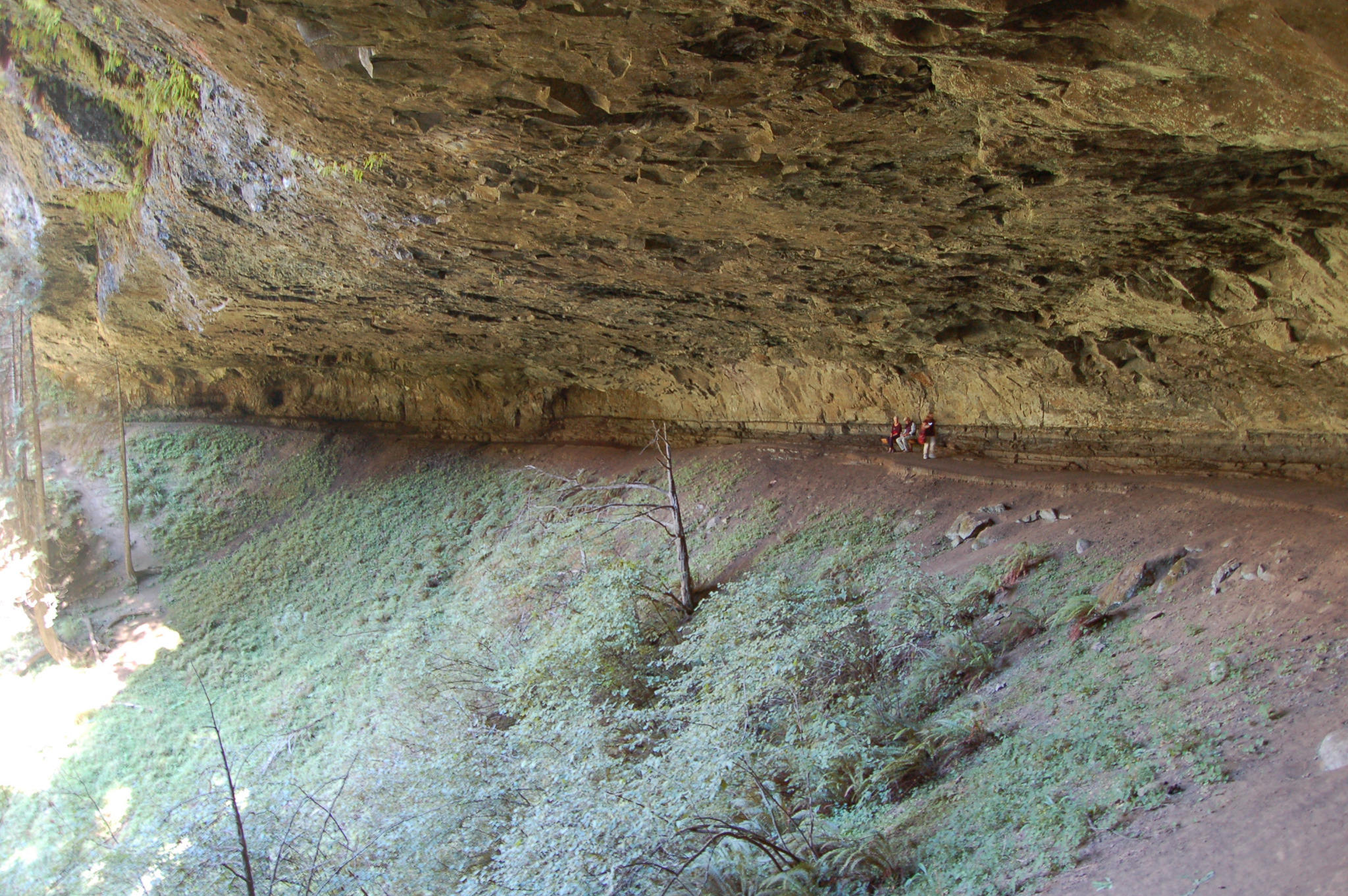
"Couple of Monday Geophotos: ledge of Grand Ronde Columbia River Basalt over seds, North Falls, Silver Falls SP, OR." (Note people for scale; this alcove is huge!)
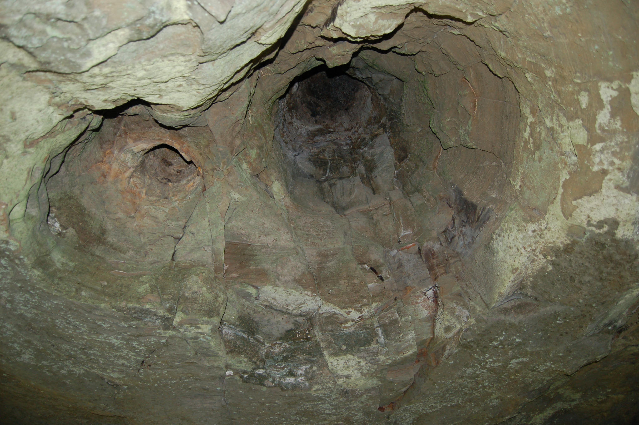
"#2, looking up from ~ where people are in 1st photo: tree trunk casts; trees growing in seds swamped by CRB flow." (North Falls, Silver Falls State Park, Oregon)
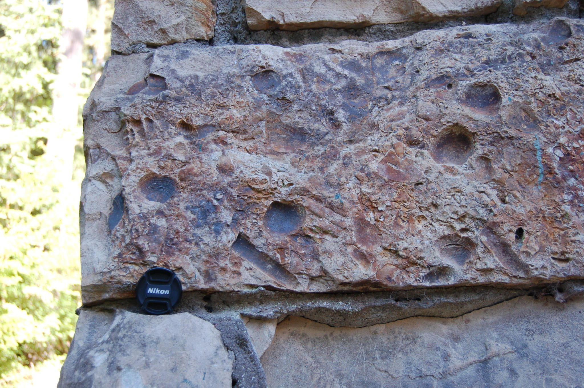
"Monday geophoto: Fossiliferous sandstone in CCC building, Silver Falls St Park, Oregon. Mostly pelecypods."
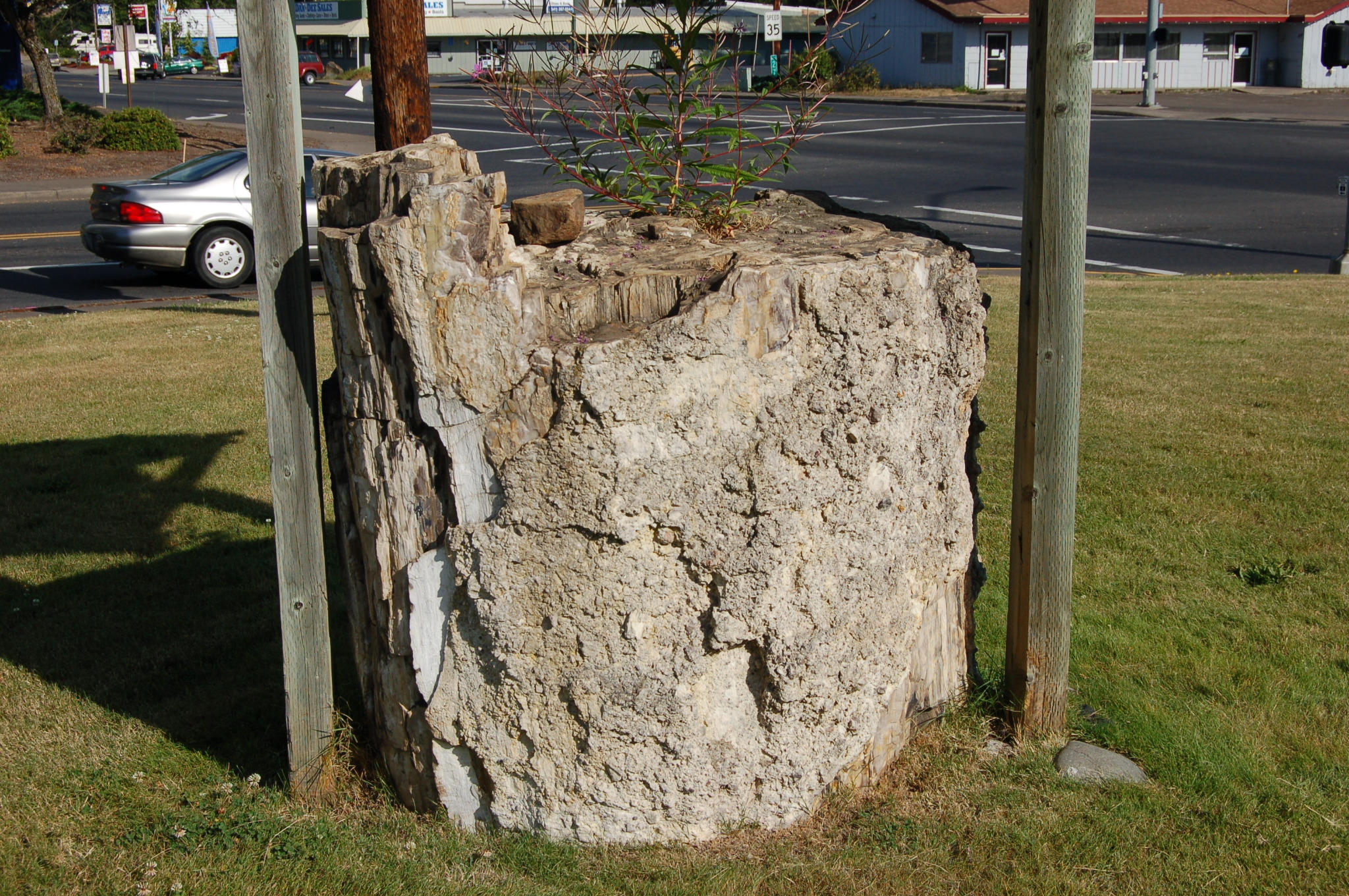
"Monday Geophoto: Petrified wood at Sweet Home Community Museum." (Flash Earth link, crosshairs on shadow of sheltering awning. Sun/shadow geometry very nearly the same in linked image as in the above.)
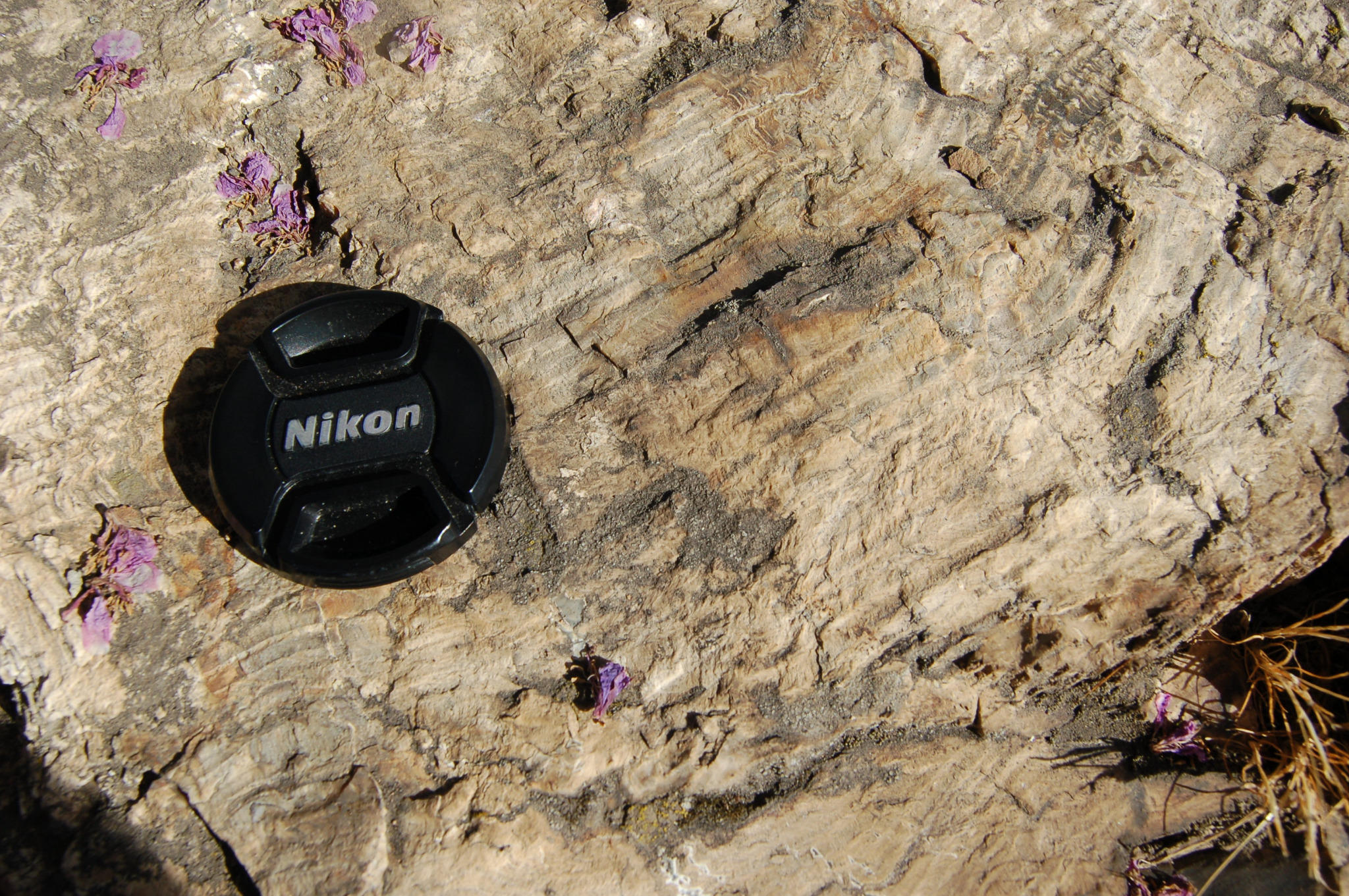
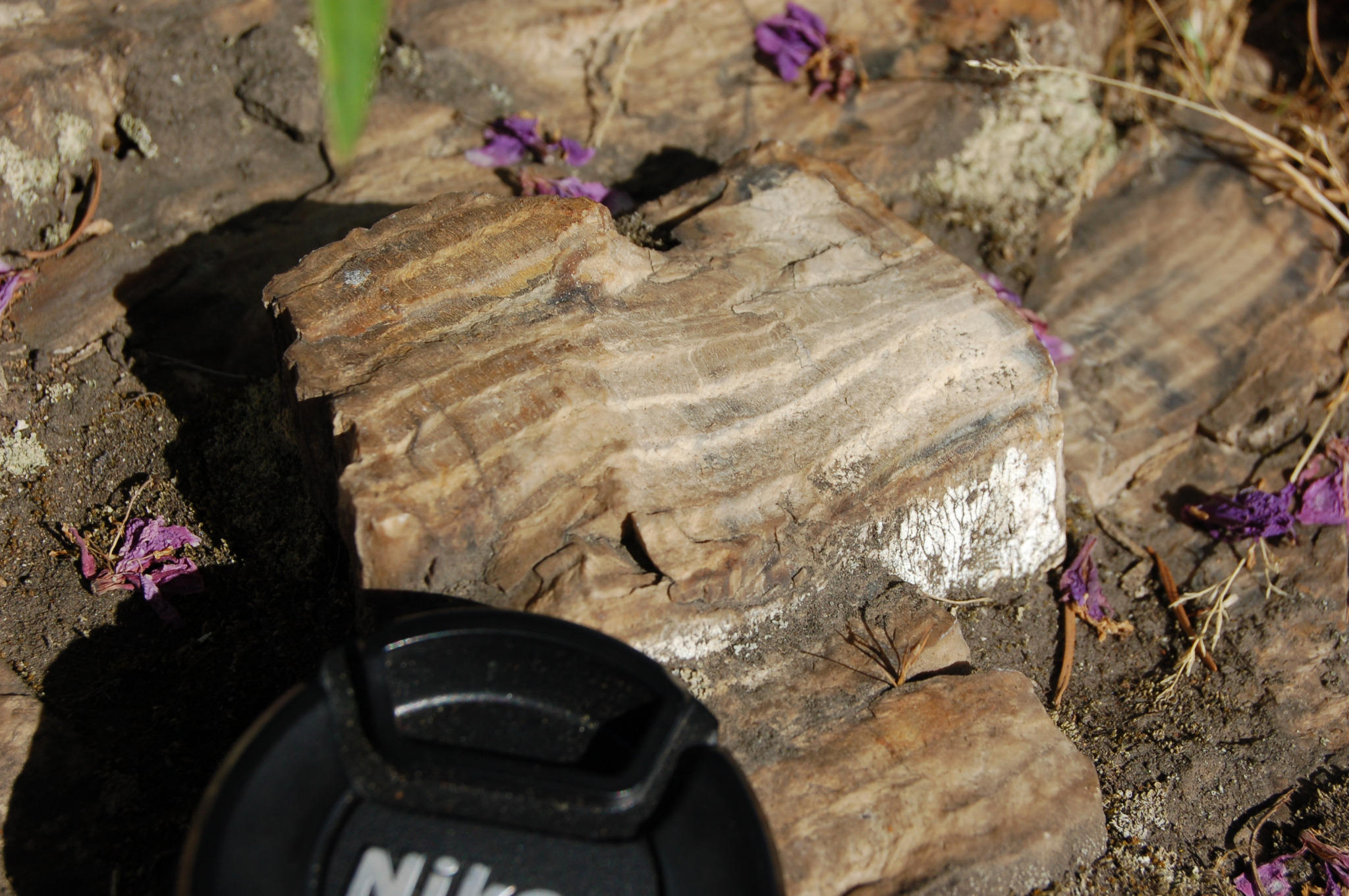
"Monday Geophoto: Petrified wood at Sweet Home Community Museum- cross section of top of log."
"Monday Geophoto: cross section of top of log, closeup. Lens cap is 52 mm."
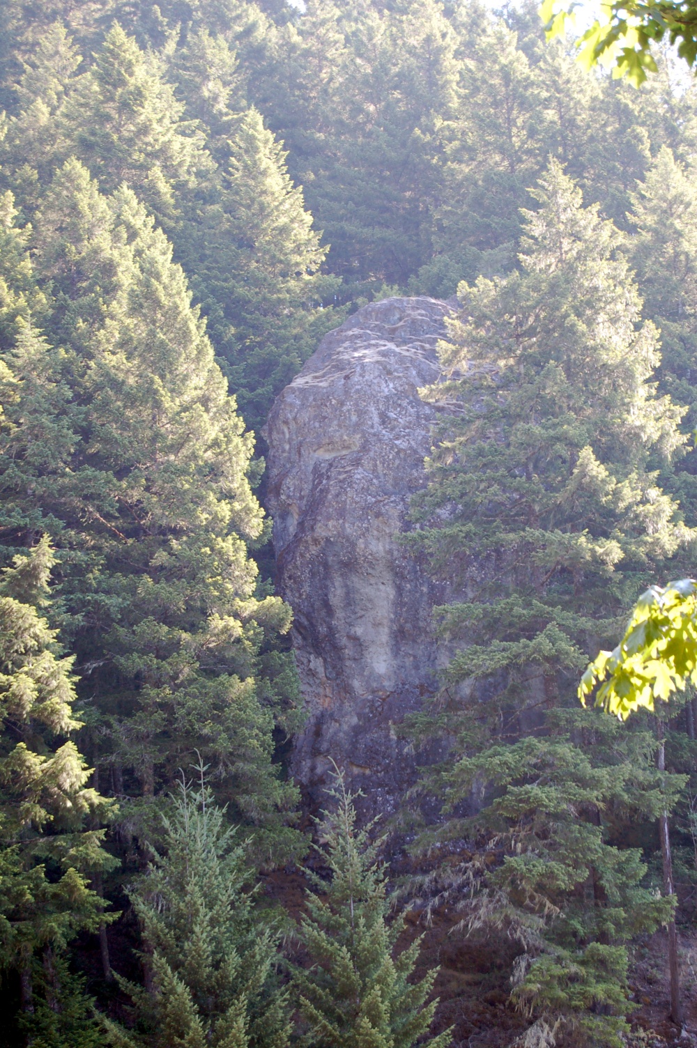
"Monday Geophoto: Volcanic neck, ~7.9 mile past Green Peter Dam, Quartzville Area (Auto levels for contrast)."
And here's today's:
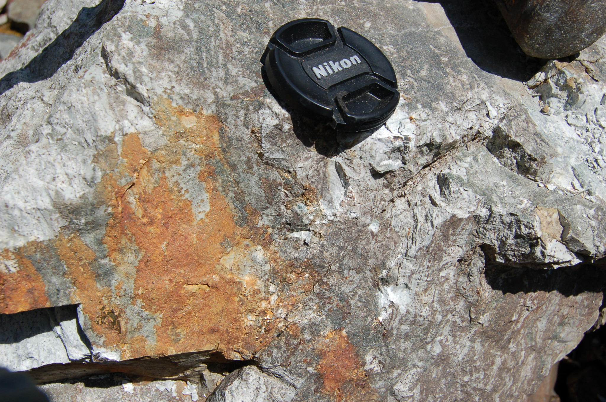
"Monday Geophoto: pyrite on a jointing surface, currently unused quarry, Quartzville area, Oregon."
Is This Your Hat?
11 years ago


No comments:
Post a Comment