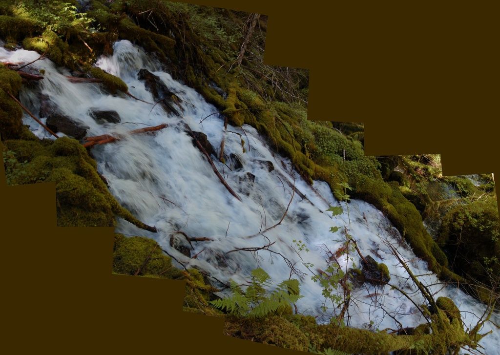
This set of shots was an experiment to see if HugIn could cope with a panorama that wasn't composed of more-or-less horizontally or vertically aligned photos. I'm neither entirely pleased nor displeased with it. It works well enough to be interesting. Anne took us to this spot after a solemn vow we wouldn't disclose its location, nor say anything of substance to identify it. There are sound environmental reasons for that, which I won't discuss further, and it's purposely not following my general practice of chronological order. However, it does relate to the hydrology of Clear Lake, so it's relevant following that site.
This spring, on it's own, has a flow that's twice (!) the flow through the Eugene Municipal water system. I don't recall the actual flow rate, but it's on the order of a few cubic meters per second. Now Eugene, the second largest city in Oregon, has an estimated population that's nearly 160,000 people. So this spring by itself releases enough water to supply the needs of a city of about a third of a million.
When lava blocked Clear Lake, about 3000 years ago, the rising water covered numerous springs that emerge in the area. They're still there, just hidden underwater. But I'm told there is an especially voluminous one near the northeast edge of the shore. I'd like to imagine that before it was drowned, this is roughly what it looked like. But maybe even bigger!
Photos stitched in HugIn, empty areas filled in Paint.Net. July 7, 2013. No location.
Is This Your Hat?
11 years ago


No comments:
Post a Comment