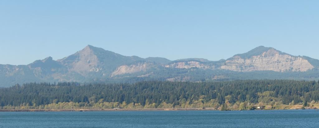
This is more similar to
the last post than I'd like, but it's a panorama composed of two more zoomed shots, so looking at the full-size version should allow you to see more easily the rocks composing the two major cliffs here. The amphitheater-like headwall I pointed out in the previous post is the source of a large landslide that occurred maybe one or two centuries before the first European explorers come through this area. Native American legend has it that it blocked the Columbia River at this point (actually, just a bit down stream), allowing easy travel from one side to the other. I can't imagine this being a stable situation for too long- weeks to a month or so at most- before the river overtopped the debris, leading to rapid failure of the "bridge."
Photo unmodified. October 10, 2012.
FlashEarth Location.


No comments:
Post a Comment