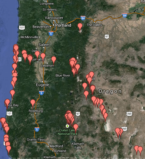
The final post in the Geo 365 series was compiled by Ron Schott, not me. I told him a couple weeks ago that I'd really like to have an interactive, zoomable map, with each "pin" linked to the relevant post, but had no idea how to do that. I wasn't expecting him to have it ready for the year's end, but the link was sitting in my inbox when I arrived at Interzone at 7:45- 15 minutes before they officially opened.
Click the pic for the interactive map. Thanks, Ron!
Update January 9, 2014: There's now an updated version in which, in addition to Lat/Lon information and a link to the original post, clicking on a "pin" also brings up a copy of the photo.
Is This Your Hat?
11 years ago


No comments:
Post a Comment