Thursday, October 31, 2013

The Obligatory Halloween Post


Because, no, I can't let Halloween go by without this song. Look at all the cool, weird instruments.
Buttersafe
"This cat has seen some things." Senor Gif
Cheezburger
Bits and Pieces
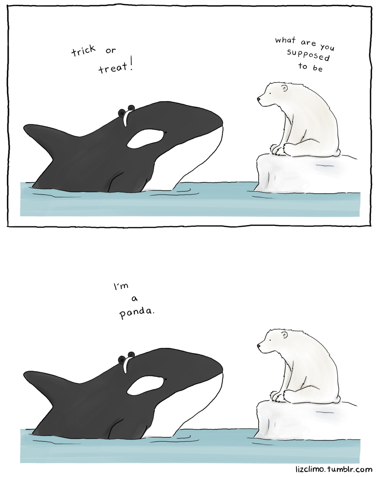
Liz Climo
Bits and Pieces
Spud Comics
Darius Whiteplume
Derpy Cats
Wil Wheaton
Very Demotivational
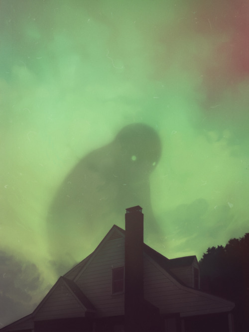
To fully understand the humor, horror, and Halloween in this picture, go read "Menace," at Hyperbole and a Half.
Derpy Cats
One in a series of magnificent pumpkin carvings at Funny to Me.
Medium Large
Fake Science
Funny to Me
Bits and Pieces
Funny to Me
Blackadder
Medium Large
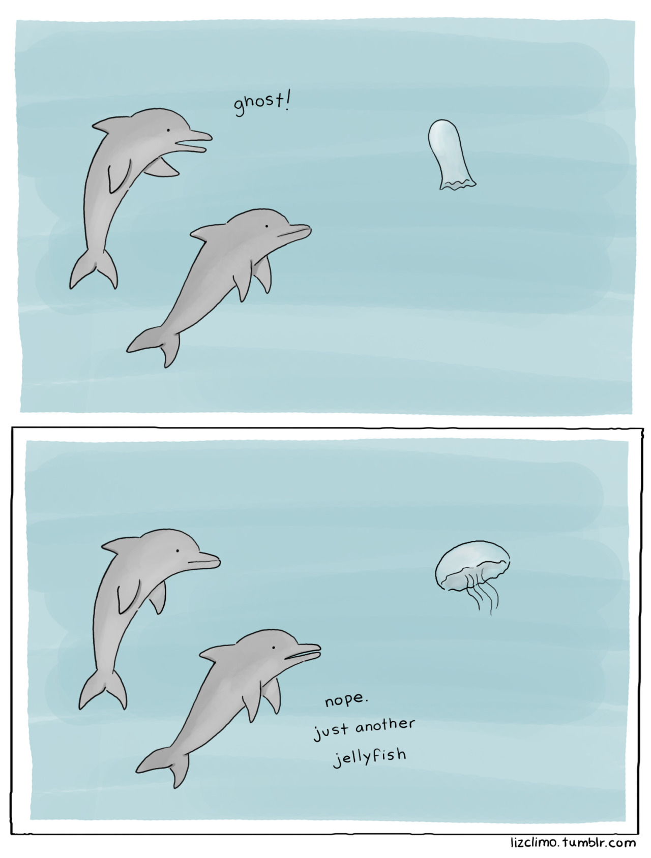
Liz Climo
Wil Wheaton
Unnatural Disaster
Tastefully Offensive
Unnatural Disaster
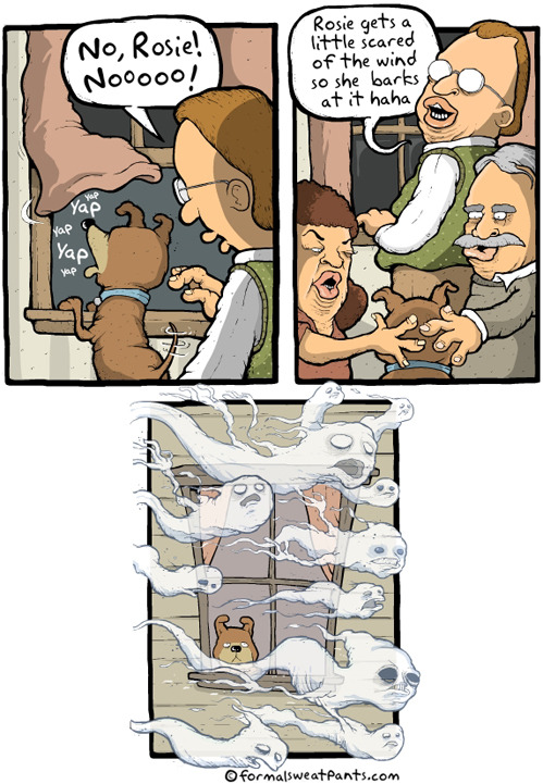
Formal Sweatpants
Senor Gif
Art of Sarah J.
Maximumble
Blackadder
Bits and Pieces
Tastefully Offensive
Via DinoChick
"Incubus" and the etymology of "nightmare." Firedoglake
Cyanide and Happiness
 "Another terrifying pumpkin carving." Tastefully Offensive
Bizarro
Sober in a Nightclub
Blackadder
Cat Addicts Anony-mouse's Photos
Izismile
Imgur
Gotta admit, this one made me flinch. Badly. One of seven at Broccoli City.
Funny to Me
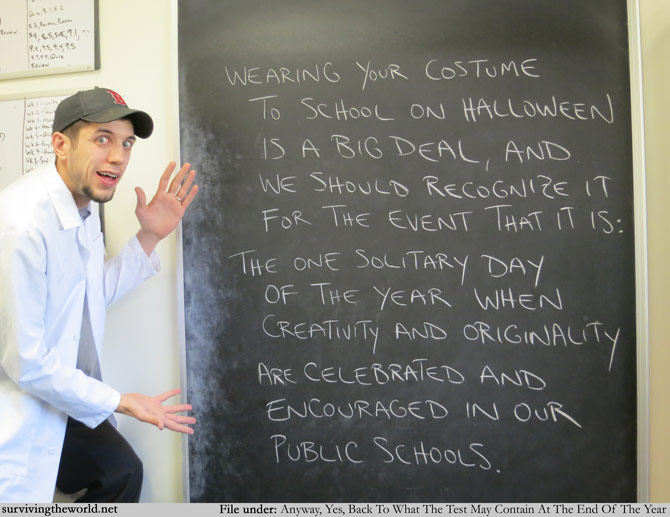
Surviving the World
Funny to Me
"Norwegian store forced to apologise for stocking realistic human limbs in its frozen meat section as part of a Halloween joke." Daily Mail
"Lost" Wil Wheaton
Shannon Wheeler
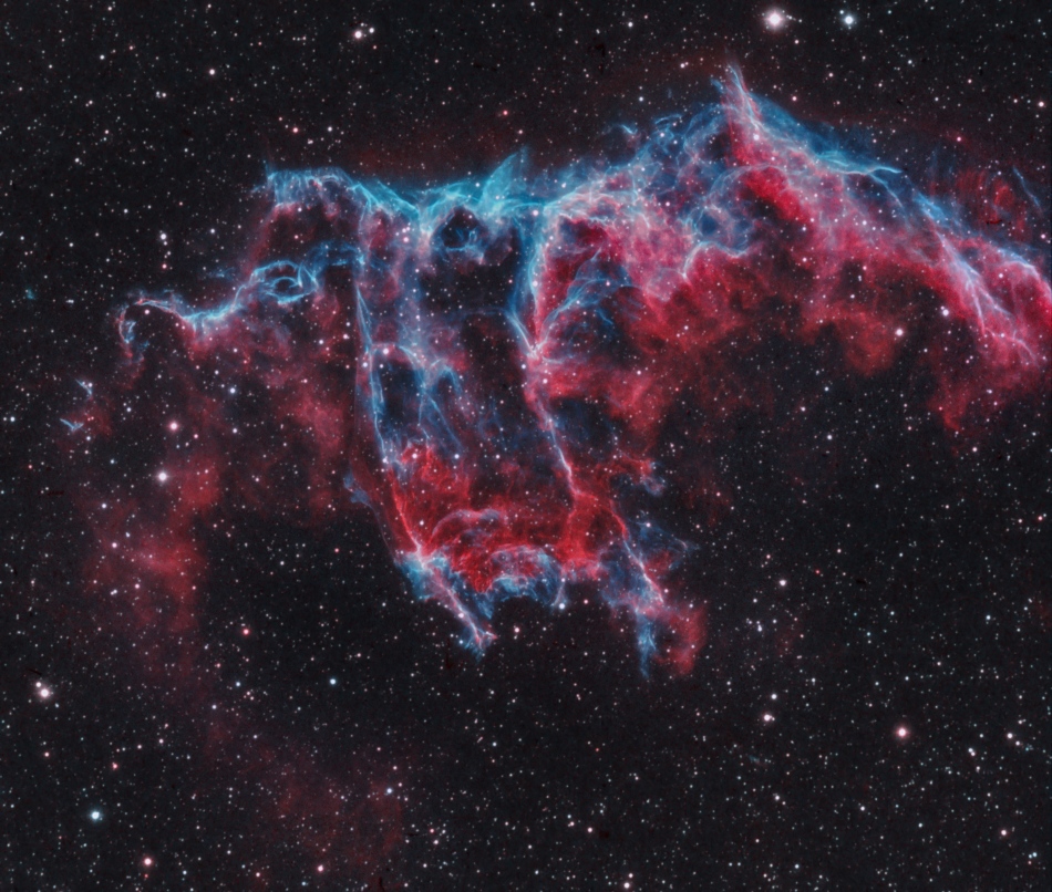
APOD posted this five years ago, then again yesterday. So did I (putting this together on Wednesday).

The Little Witch, a two sentence horror story- this is really creepy, even if you know where it's going, which I did. You have been warned.
\
Funny to Me

Geo 365: Oct. 31, Day 304: Otter Crest Loop Bridge

There is a stream here, but it's tiny- you can see it running across the rock in the lower left middle foreground- and it's clearly not the factor responsible for eroding this chasm. This cove is likely due in main part to pounding by "Pacific" waves, but the bouldery rubble on the shore prevents one from seeing if there's some evidence of weakness in the bedrock basalt. Geology aside, I thought the bridge was awfully pretty.

Photo unmodified. May 6, 2013. FlashEarth location.

Wednesday, October 30, 2013

Geo 365: Oct. 30, Day 303: Basalt Terrace North

Looking north from the same spot as yesterday's shot, on the far horizon to the right, another housing development is visible. I reiterate my comments from that post on why that flat area looks ideal for coastal development. It looks (from a driveway in the full-size view) that the headland between here and there is a park. Early in the 1900's, the then-Governor of Oregon declared the Oregon Coast a "highway," in part because at the time there were few roads in the area, and sandy areas at low tides were in fact important transportation corridors. It also gave the state complete jurisdiction over the area. I don't recall the details of how it's written, but basically the state owns all the land along the coast up to a certain elevation, and the general public is guaranteed access if it's physically available. So landowners can't buy lots and block people from "their beach," or "their cove." As a result, there are innumerable places with what I refer to as "pocket parks," which may be nothing more than parking lots allowing access to particular bits of Oregon's uniquely under-developed "highway."

Photo unmodified. May 6, 2013. FlashEarth location. (The houses appear to be the southern end of the coastal community of Depoe Bay, famously the site of the fishing excursion in "One Flew Over the Cuckoo's Nest.")

Tuesday, October 29, 2013

Geo 365: Oct. 29, Day 302: Basalt Terrace

A mile or so north of Otter Rock, there is a shelf of elevated terrace developed on the Columbia River Basalt flows. This creates a nice flat space that can be developed for residences or vacation homes. I'm guesstimating these are about 60-70 feet above sea level, so they're probably out of the tsunami risk zone in the event of a great Cascadia quake/tsunami. And since you ask, no, I can't go to the coast these days without posing questions like that to myself. It's not a phobia, it's not even really a "jittery" feeling. It's more than simply an intellectual curiosity, though. I consider it a sensible feeling of caution, like consciously scanning a street scene before I cross... "Is it safe?" In addition, having the foundations of these dwellings directly on bedrock means that the effects of the shaking will probably be less severe than if they were on unconsolidated fill. Long and short, this is a highly desirable spot for development, and not just for the view.

Photo unmodified. May 6, 2013. FlashEarth location.

Monday, October 28, 2013

Geo 365: Oct. 28, Day 301: Another View from Otter Rock

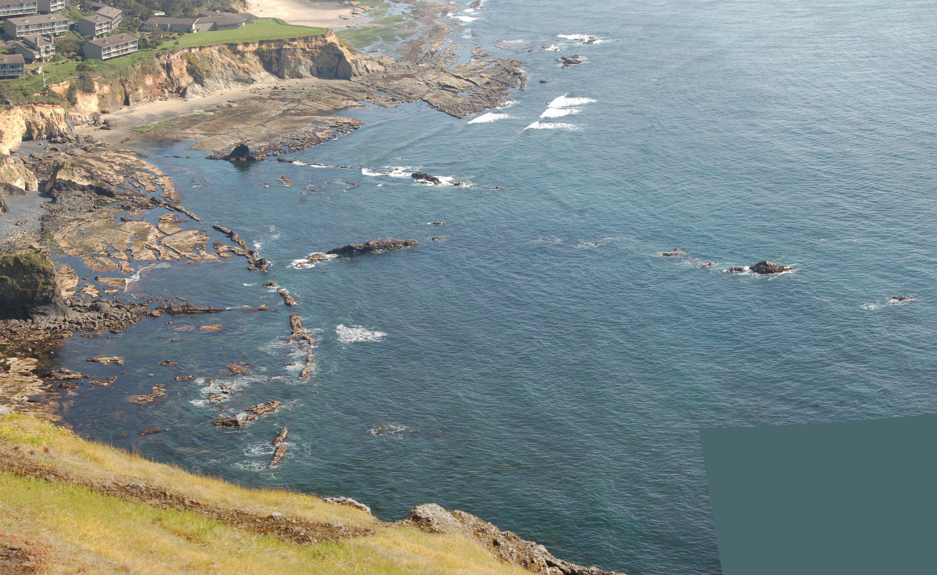
A panorama of three photos, taken in horizontal framing, and panned vertically. It's very similar in content to the May 12 photo: invasive dikes of CRB into Miocene Astoria Formation sediments. The lower right corner has been filled with solid color sampled from nearby. More detailed information at the previous link. Size options here.

Photo stitched in Hugin, modified as desribed. May 6, 2013. FlashEarth location.


Sunday, October 27, 2013

Sunday Funnies: Cultural Evolution Edition

Pie Comic
Bits and Pieces
There, I Fixed It
What Would Jack Do?
Are You Talking to Meme?
Fake Science
Funny to Me
Are You Talking to Meme?
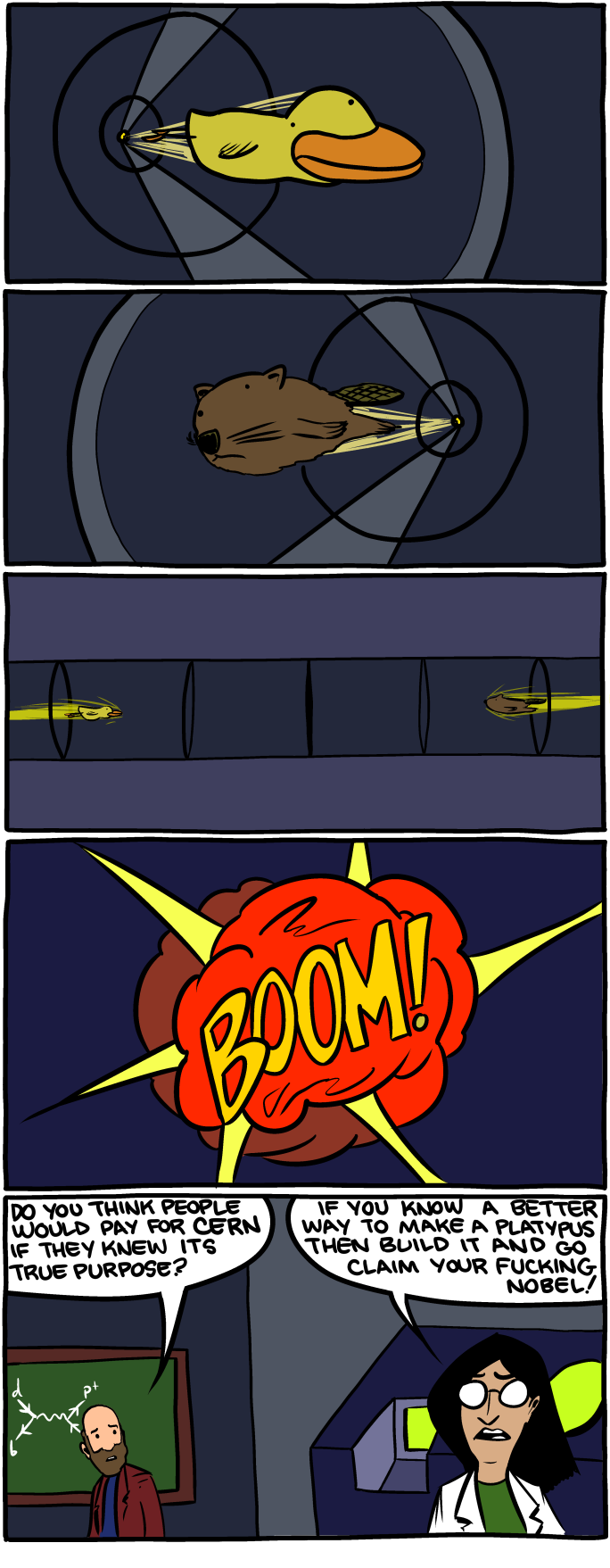
SMBC
Tastefully Offensive
Bits and Pieces
Savage Chickens
Calvin and Hobbes via Tastefully Offensive
Are You Talking to Meme?
What Should We Call Grad School
Senor Gif
What Would Jack Do?
Danziger Cartoons
Derpy Cats
Very Demotivational
There, I Fixed It
Cheezburger
"Freshmen after 20 minutes in the field." Geology is Hard
Partially Clips
Funny to Me
"You know who else closed parks..." Matt Bors
Funny to Me
Abstruse Goose
Funny to Me
Are You Talking to Meme?
Bizarro

Geo 365: Oct. 27, Day 300: Otter Rock Clouds

When we arrived at the pocket park on top of Otter Rock, the first thing that caught my attention was the clouds that were forming as the onshore winds were pushed from sea level, up over this peak. I didn't think to get a time series for a .gif animation, but the change was rapid and dynamic: an excellent example of the phenomenon. Size options for the panorama here. (right click on image)

Photo unmodified. May 6, 2013. FlashEarth location.