Sunday, September 22, 2013

Sunday Funnies: Student Edition

Oregon State is on a quarter system, unlike, it seems, most universities, which are on a semester system. The first day of classes is September 30, a week from tomorrow. As of yesterday, Corvallis has become noticeably more busy. By the middle of this week, I expect it'll be a zoo.
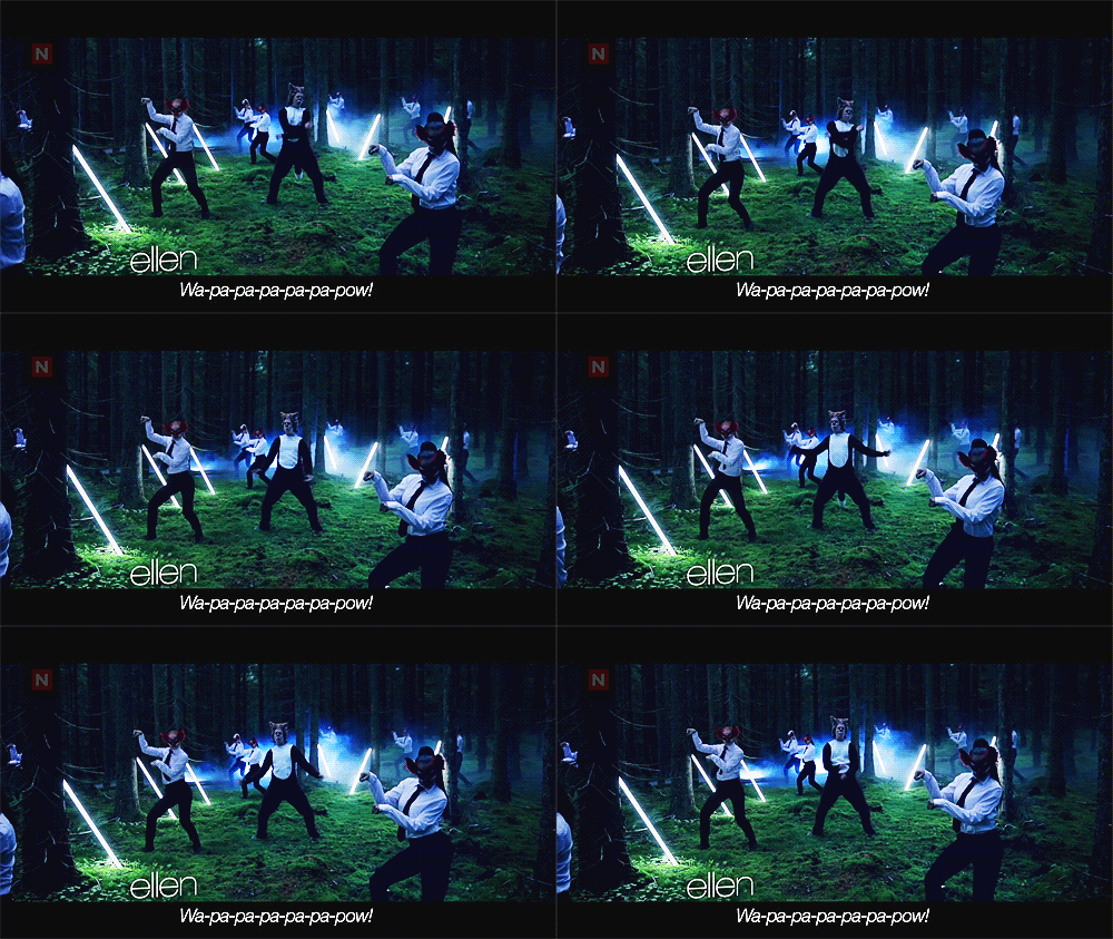
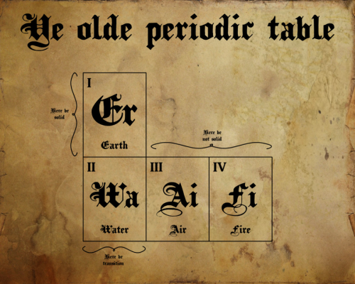
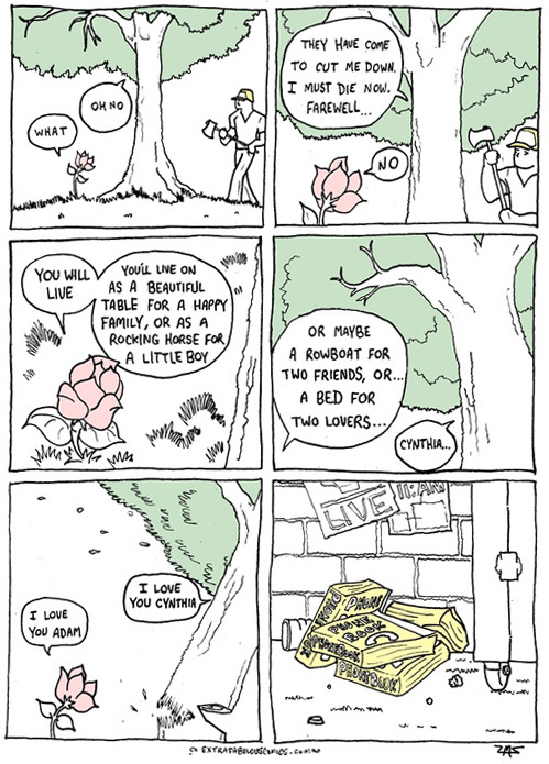
This one is mine, suggested by Adam Clark.
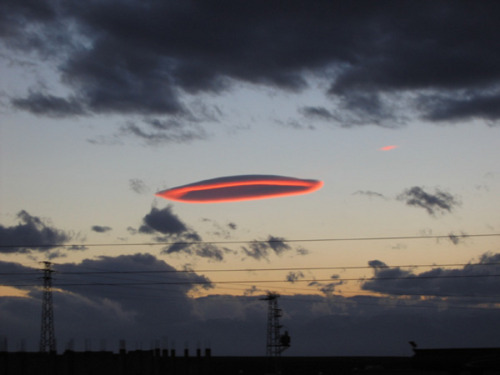
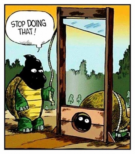
Also mine, in reaction to the first one.
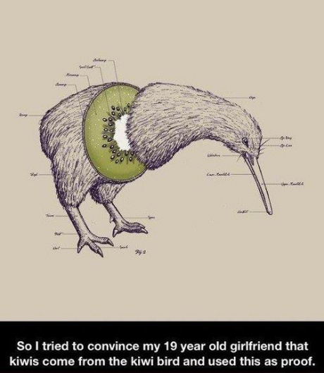
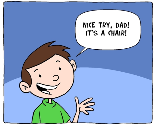
This was suggested as a caption by a source I've lost; I just made it happen.
Matt Bors
The Gentleman's Armchair
"This is what happens when a car gets an allergic reaction." Funny to Me
Bits and Pieces
Funny to Me
Tastefully Offensive
I was going to caption this "free-range red blood cell." But I didn't. Blackadder
9 Gag... "It actually did work."
"And the gap keeps getting bigger." Liz Donnelly, at The Nib
Blackadder
Are You Talking to Meme?
Lawyers, Guns and Money
Fake Science
Bits and Pieces
Text From Dog
Dr. Boli
Are You Talking to Meme?
Blackadder
Funny to Me
"How the Sex Education Section in Class Goes:"
Bits and Pieces
Safely Endangered
Bots... Wil Wheaton's Tumblr
Spud Comics
Very Demotivational
Funny to Me
Tastefully Offensive
Doghouse Diaries
Savage Chickens
Funny to Me
You mean, Obama twerks, too!? Tastefully Offensive
Bits and Pieces
Bits and Pieces
Surviving the World
Blackadder
What Would Jack Do?
Chainsawsuit
Bits and Pieces
Funny to Me
Extrafabulouscomics
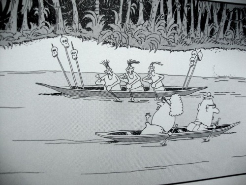
Via Blackadder (Gary Larson, The Far Side)

Geo 365: Sept. 22, Day 265: Crater Lake Lodge

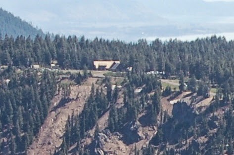
To the left middle of the rim, Crater Lake Lodge is dwarfed by its surroundings; in fact it's difficult to even pick out. Klamath Basin, battlegrounds for seemingly endless water conflicts, can be seen in the distance above.
Here's a crop of the first photo to help you spot the lodge.

Photo unmodified. August 18, 2011. FlashEarth location.

Saturday, September 21, 2013

Geo 365: Sept. 21, Day 264: Sun Notch

Like Kerr Notch, on the left edge, Sun Notch is clearly another beheaded glacial valley. Not apparent at this scale, but somewhat discernible in the full size view, the Phantom Ship sits offshore from the end of the point between Sun and Kerr Notches. Above that point is Dutton Cliff, and to the right of Sun Notch, the point at the waterline is called Eagle Point. Above that is Eagle Crags.

Photo unmodified. August 18, 2011. FlashEarth location.

Friday, September 20, 2013

Geo 365: Sept. 20, Day 263: The View...

...from the rim of the cone on Wizard Island must be incredible. I doubt I'll ever clamber down Cleetwood Trail, simply because I find the idea of the return trip too daunting. Even if I did, I'd have to muster up the cost for the boat trip, get down there early in the morning, plan on spending the better part of the day on the island, AND make a 700 foot (200 m) climb to the summit. At this point, 'taint gonna happen. But still, imagine the 360 degree panorama of the caldera walls...

Photo unmodified. August 18, 2011. FlashEarth location.

Thursday, September 19, 2013

Geo 365: Sept. 19, Day 262: Skell Channel

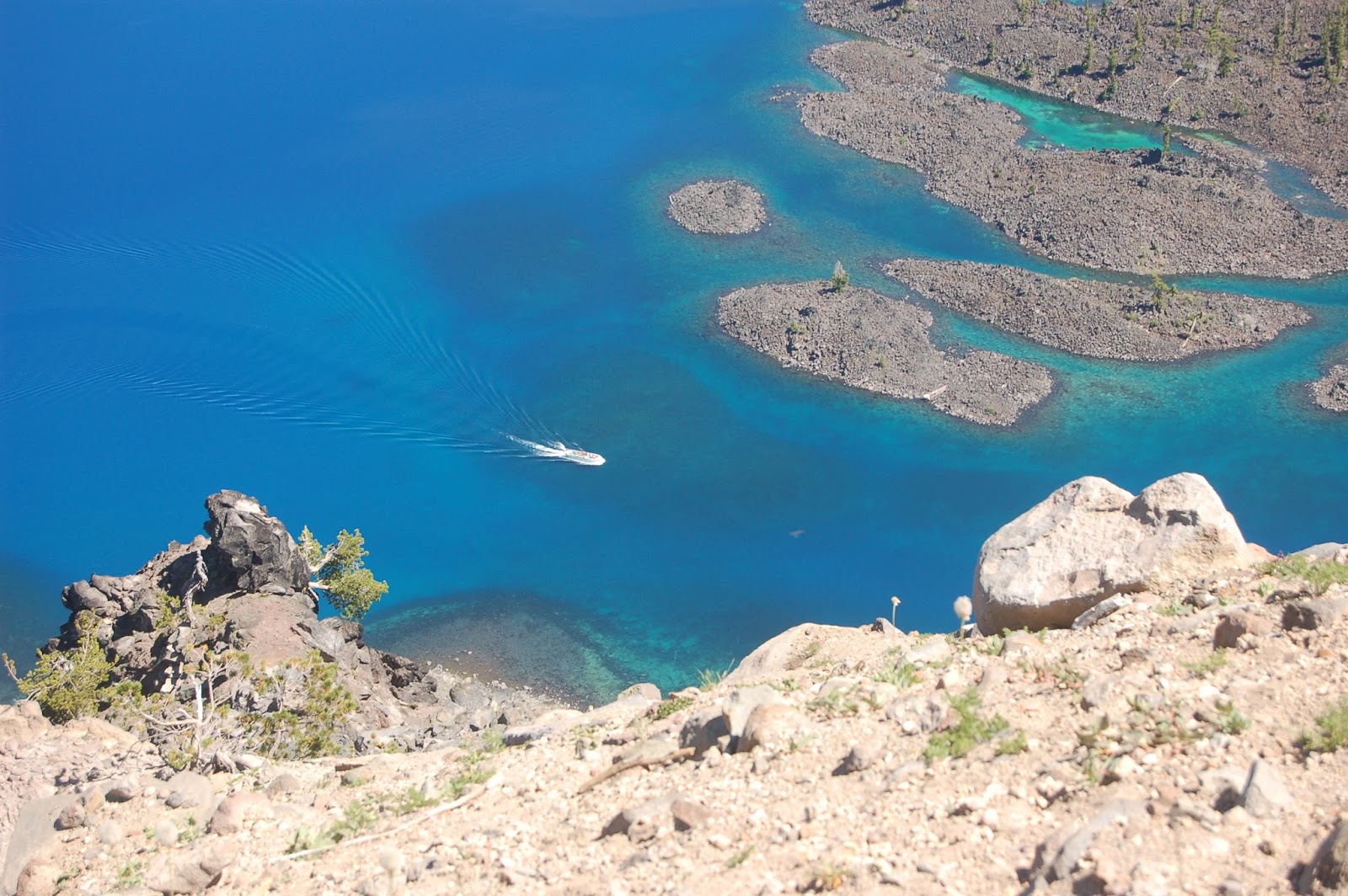
The Crater Lake tour boat navigates Skell Channel, the passage between Wizard Island and the western wall of the caldera. I haven't been able to find the name and dimensions of the current tour boat, but it can carry a maximum of 37 passengers, so that should provide a loose sense of scale. According to a source I can't seem to find again, the passage is 300 m wide, and about 100 m deep. Despite that depth, you can still make out the shape of the bottom here... the water is really that clear!

Photo unmodified. August 18, 2011. FlashEarth location.

Wednesday, September 18, 2013

Geo 365: Sept. 18, Day 261: Devils Backbone

A set of radial dikes below Hillman Peak has been named "The Devils Backbone." Radial dikes are common features of volcanoes, as sheets of magma push outward from the central conduit.

Photo unmodified. August 18, 2011. FlashEarth location.

Tuesday, September 17, 2013

Geo 365: Sept. 17, Day 260: Wizard's Breach

From the pullout between Hillman Peak and The Watchman, Wizard Island dominates the view. I've long been fascinated by the breach flow from that cinder cone. The hummocks and little islands seem (to me at least) to suggest that the lake level was lower at the time of that eruption. Above and a little to the right of Wizard Island, Kerr Notch can be seen on the opposite rim. The peak to the left of that feature is Mount Scott, the highest point in the park.

Photo unmodified. August 18, 2011. FlashEarth location.

Monday, September 16, 2013

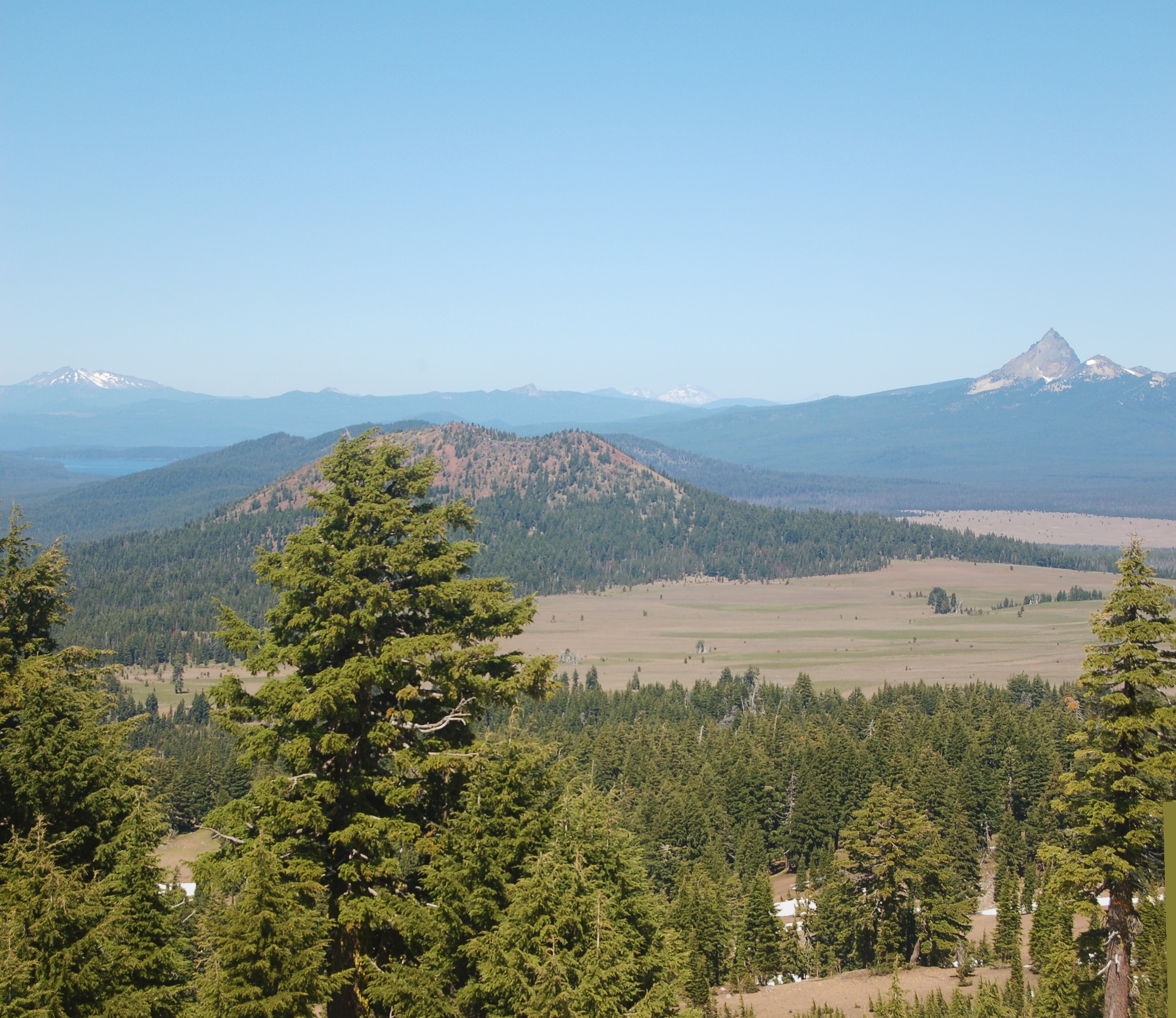
Geo 365: Sept. 16, Day 259: Bailey, Diamond, Thielsen

From the left horizon, looking north from the western portion of Crater Lake NP's rim road, we see Mount Bailey. In the left center is Red Cone, and in the distance above its right flank is Diamond Peak. Finally, on the right is Mount Thielsen. For size options, right click the image here.

Photos stitched in HugIn, otherwise unmodified. August 18, 2011. FlashEarth location. (Cross-hairs are on the pullout where photos were taken, but zoom is backed out enough to see Bailey and Thielsen.)