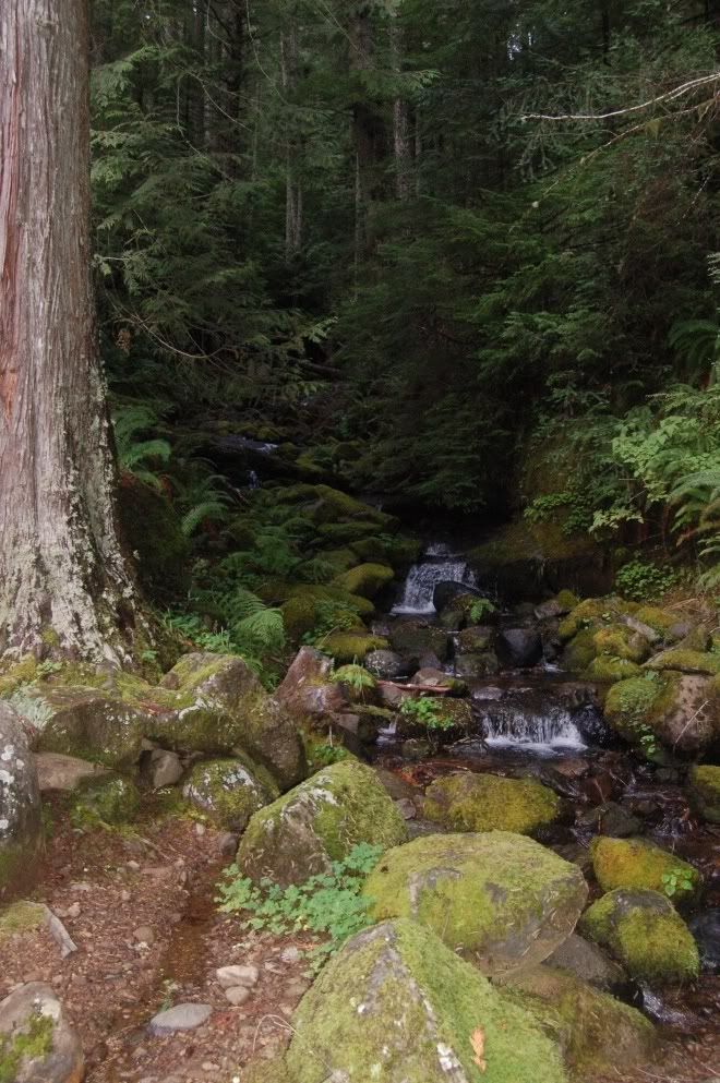
The bedrock here is ledge-forming Flournoy formation turbidites, but most of the boulders are the more resistant Marys Peak Sill. Though there are some lithic features of importance, this spot is mainly about pretty riffles and biology.
I think what I'll try to do for Mary's Peak is put together a post for each stop in stratigraphic (as best as I can tell) order- and what I mean by that parenthetical is that within the seafloor basalt (Siletz River Volcanics), there's not really any good way to tell what's stratigraphically higher or lower other than elevation. And there are enough faults through the area that I don't consider that especially dependable.


1 comment:
a little time out from pictures
i see...
Post a Comment