I'm not finding a whole lot of information on Ice Cap Spring/Creek, but on our July 2013 trip, Anne pointed out this spring just east of the Koosah Falls parking area. Ice Cap Campground and Day Use Area are just a hundred yards or so south. The turnout for both the falls and camp, off of highway 126. are the same; you branch north to the falls, south for the campground. At any rate, I'm guessing this is the headwaters of Ice Cap Creek. I'm standing on dry ground here, and the spring emerges from under my feet, and into another one of those preternaturally clear pools and streams that are so common on the Upper McKenzie.
Photo unmodified. July 7, 2013. FlashEarth Location.
Miscellaneous thoughts on politics, people, math, science and other cool (if sometimes frustrating) stuff from somewhere near my favorite coffee shop.
Saturday, April 18, 2015
Friday, April 17, 2015
Geo 1095: April 17, Day 837: Gorge-ous
On this trip, we walked down along the gorge below Sahalie Falls, maybe a bit less than half a mile. However, I was leery about earning too much of a return hike back uphill, so I called a halt fairly quickly. The river is beautiful in both sight and sound, and it's impressive to realize just how rapidly it can incise into these recent lava flows. On the other hand, looking at its intense energy here, maybe it's not too surprising.
Photo unmodified. October 9, 2014. FlashEarth Location.
Photo unmodified. October 9, 2014. FlashEarth Location.
Thursday, April 16, 2015
Geo 1095: April 16, Day 836: Stairway to Sahalie
While the title is a riff on my discovery yesterday of what "Sahalie" means, there is a stairway, or at least a trail, up to the top of the falls here. I've never walked up there, and I think that's something I should change. That trail segment is a minor portion of a trail system that extends from above Clear Lake down to the lower McKenzie Valley. The next major trip I make up here, my goal is the two-mile hike from Carmen Reservoir to Tamolich, or Blue Pool. From Carmen to Tamolich, the river is once again completely underground for most of the year. It then re-emerges at the Blue Pool. This is something I want to see.
Photo unmodified. October 9, 2014. FlashEarth Location.
Photo unmodified. October 9, 2014. FlashEarth Location.
Wednesday, April 15, 2015
Geo 1095: April 15, Day 835: Sahalie
Next time I tour this area, I need to scribble down mileages. But something like two to three miles south of the entrance to the Clear Lake Recreation Area, and maybe a mile or so past the end of the lake and the campground at the southeast end, is a pullout on the west to Sahalie Falls. I'm pretty sure Anne said there is no substantive water that enters the McKenzie River between the lake and this waterfall, so what we're seeing here basically represents the total amount of spring flow into Clear Lake. I don't have enough experience with seeing known flow rates to judge the amount of water flowing here. However, it's pretty obvious to me that the flow rate here is a great deal larger than at "The Spring Who Shall Not Be Named," where it's on the order of a few cubic meters per second.
On another note, while attempting to track down distances, I came across a nice bit of trivia: "Sahalie (or "Heaven") and Koosah (or "Sky") are Chinook Jargon words - part of a rudimentary trade language that allowed people to exchange news and goods in the area." Heaven is certainly an apt descriptor for this spot.
Photo unmodified. October 9, 2014. FlashEarth Location.
Tuesday, April 14, 2015
Geo 1095: April 14, Day 834: Wayfinding
Photo unmodified. October 9, 2014. FlashEarth Location.
Monday, April 13, 2015
Geo 1095: April 13, Day 833: Walk the Plank
I think what Anne was communicating here was "NO!" As in "say next to nothing about this spot!" I prefer to see a head-and-cross-bones, as in "I will walk you off off the plank if you reveal this location." See Saturday's post, if you missed it, for as much information as I'm going to give about this spring.
Photo by Dana Hunter. July 7, 2013. No location.
Photo by Dana Hunter. July 7, 2013. No location.
Geo 1095: April 12, Day 832: No-Name Spring 2
Another shot of the Spring Who Shall Not Be Named... it's like a large waterfall coming out of the hillside.
Photo unmodified. July 7, 2013. No location.
Photo unmodified. July 7, 2013. No location.
Sunday, April 12, 2015
Sunday Funnies: Hillary Edition
"Hilladriel" Balloon Juice
Name and face changed to protect the ding-a-ling.
Everyday Sexism
Tastefully Offensive
Sober in a Nightclub
Bizarro
Tastefully Offensive
Sephko
This is truth, and we didn't get enough of them this winter. Books of Adam
"Now they have our technology." Tastefully Offensive
Tastefully Offensive
Bad Newspaper
Waynovision, Via Bizarro
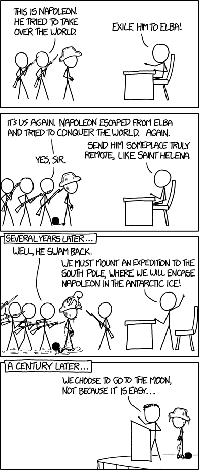
xkcd Once again, do click over and read the hovertext.
Cyanide and Happiness
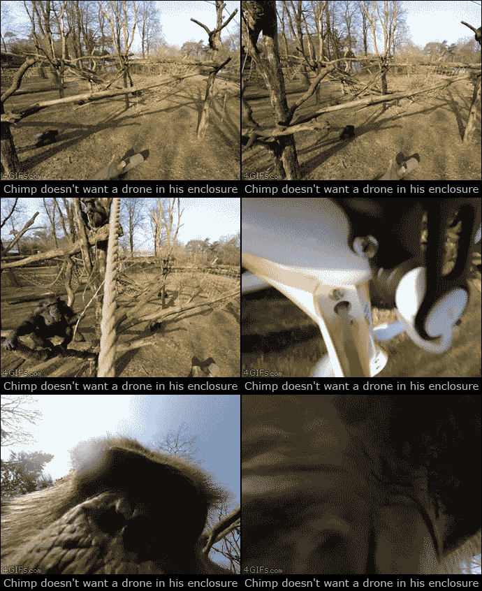
4GIFs
Tastefully Offensive
Fowl Language Comics





Wil Wheaton
Bizarro
Mark Stivers
Sober in a Nightclub
imgur
Tastefully Offensive
Meanwhile, in the Terminator neonatal ward... Senor Gif
Clay Bennett
Bad Newspaper
Jim Benton
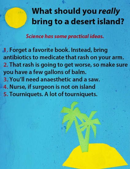
Fake Science
Safely Endangered
Channel Ate
Tastefully Offensive
"Nowhere Fast" Tree Lobsters
Historic LOLs
Jim Benton
Sober in a Nightclub
Sarah Andersen
Fake Science
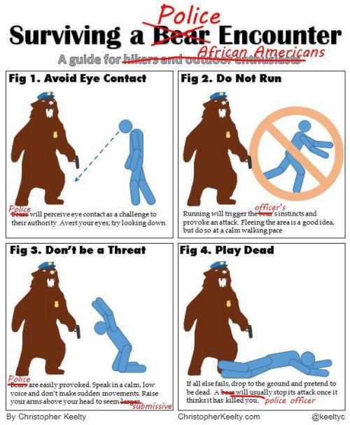
Christopher Keelty
"We really MUST see this!" Historic LOLs
What Would Jack Do?
Funny to Me
Shannon Wheeler "Salem Owls"
"Yoink. I can show you the world." Tastefully Offensive
Darius Whiteplume
Tastefully Offensive
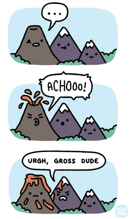
Seismogenic Zone
Funny to Me


