Sympathy For the Devil
Miscellaneous thoughts on politics, people, math, science and other cool (if sometimes frustrating) stuff from somewhere near my favorite coffee shop.
Saturday, October 4, 2014
Saturd80's: Stones Rock Edition
It's odd... I don't recall hearing the Rolling Stones in high school, though I'm sure I must have. But when I moved to Oregon, it was practically required that one own a copy of their compilation album, "Hot Rocks." I'm pretty sure all of these were on that album.
Sympathy For the Devil
Paint it Black
Gimme Shelter
Sympathy For the Devil
Geo 730: October 4, Day 642: Boiler Bay, Broadly
Looking roughly southeast (right) to north (left) along the coast at Boiler Bay. Toward the left, Cascade Head can be dimly seen on the horizon. That landmark was thought during the eighties to be a local volcanic center; I'm not sure if it has been reclassified as another area where Columbia River Basalt reached the coast. Nor am I finding information online that looks up-to-date and accurate.
Panorama stitched in HugIn. July 15, 2014. FlashEarth Location.
Panorama stitched in HugIn. July 15, 2014. FlashEarth Location.
Friday, October 3, 2014
Geo 730: October 3, Day 641: Boiler Bay
If I've been to Boiler Bay before, just a mile or two north of Depoe Bay, it was early in my undergrad years, three decades ago or more. It's an awfully pretty spot, but while there's some nice geology to see, it's mostly out of reach. For example, as one often notes along the coast, there's an angular unconformity between the Miocene Astoria Formation and the (relatively) recent (probably Pleistocene), lighter marine terrace deposits to the left of the small stream near the middle of the photo.
Photo unmodified. July 15, 2014. FlashEarth Location.
Photo unmodified. July 15, 2014. FlashEarth Location.
Thursday, October 2, 2014
Geo 730: October 2, Day 640: Depoe Drain
Once again, we're looking over the sea wall in downtown Depoe Bay, to the marine terrace composed of Columbia River Basalt pillows commingled with sediments of the Astoria Formation. Both are of Miocene age. In the lower right, you can see an old drain pipe (also visible in yesterday's photo). I recall looking at this, trying to gauge its diameter for a sense of scale, but I honestly don't remember what I estimated it to be, so I'll just say I think it's a foot or more, maybe 14 to 16 inches.
When I covered this area previously back in April, I alluded to the fact that this terrace is physically accessible. It is, but I hadn't noticed on the previous trip is that there is a sign at the south end, where the terrace is open to the promenade, before it drops below the sea wall, warning that the area is extremely dangerous. So-called sneaker waves- isolated, unusually high and powerful swells- can sweep over this shelf. It's not clear whether trespassing is legally prohibited, so you might not get a ticket. On the other hand, you might get dead. Oregon coastal water is turbulent and very cold; without survival gear, even the fittest swimmer has only minutes before hypothermia sets in. Combine that with the fact that in the event of a large wave, someone unfortunate enough to be caught in it will be battered violently against the rocks. In short, this is not a place you want to go. Rocks from a distance can be frustrating when you want a closer look, but frustrating is better than becoming chilled hamburger.
Photo unmodified. July 15, 2014. FlashEarth Location.
Wednesday, October 1, 2014
Geo 730: October 1, Day 639: Over the Sea Wall
This is an odd perspective, but we're looking directly over the edge of the sea wall in downtown Depoe Bay. You can see a bit of the wall along the upper right edge of the photo. This is a fairly wide-angle shot, so in the bottom right, we're looking almost straight down; up and to the left, we're looking progressively closer to horizontal. But what are we looking at? These are pillows of Columbia River Basalt, from flows that made it all the way across the state, to the edge of the Pacific Ocean, which was close to the same position at the time (Miocene) as it is now. As I commented, back in April, my suspicion is that these pillows formed, then sank into unconsolidated sediments of the Astoria Formation. I can imagine pillows forming invasively, that is, basalt forming pillow structures as it intrudes into soft sediment, but it seems like it would necessarily have a more chaotic result than we see here. The pillows are quite regular.
Photo unmodified. July 15, 2014. FlashEarth Location.
Photo unmodified. July 15, 2014. FlashEarth Location.
Tuesday, September 30, 2014
Geo 730: September 30, Day 638: Cobble Beach
I've already covered Yaquina Head to an extent in this series (See The Index, and scroll down to Yaquina Head, at the bottom), so for this segment of this particular trip back in July, I had intended to focus pretty much exclusively on observations and features I haven't discussed and shown earlier. However, in yesterday's post, I mentioned the cobble beach here, so I decided I should show a companion photo to illustrate my point.
Photo unmodified. July 15, 2014. FlashEarth Location.
Photo unmodified. July 15, 2014. FlashEarth Location.
Monday, September 29, 2014
Geo 730: September 29, Day 637: Unexpected Contact
I had noticed this cobble conglomerate before, but I had not, before this trip, consciously thought about its implications with respect to the overlying contact with the basalt breccia. (Lens cap right of center, diameter is 52 mm)
Why do geologists spend an inordinate amount of time fussing over contacts? From outside, it might appear as if we're simply obsessed with rocks- and to an extent, there some truth to that. But it's not just the rocks themselves, it's what they tell us. First, and foremost, we want to winkle out little tidbits of earth's history; we want to know how the planet has changed and evolved through time. Rocks tell us a great deal about what the conditions were like when they formed. Contacts tell us about how conditions changed. Change is really at the heart of what we're interested about. So fussing over contacts is central to what we do.
Here, we see a contact between a cobbly basalt conglomerate- representative of an environment very much like the cobbly beach behind me- and an overlying basaltic breccia. The latter rock probably represents the front of an advancing flow into the ocean, so likely a combination of flow and phreatic (referring to steam explosions) breccias.
Now why is this of interest to me? I would be unsurprised to see cobbles on top of basaltic breccia- indeed, that's mostly what you see along this beach. However, I didn't expect to see basalt cobbles underneath breccia. That implies that there was already basalt exposed nearby, which in turn suggests that Yaquina Head may consist of two or more flows of Columbia River Basalts, separated by enough time to erode the earlier one, and round those clasts. This wouldn't necessarily take very long, maybe a decade to a century, but it does seem unlikely to have originated from a single eruptive episode.
Contacts are fun, especially when they take you by surprise!
Panorama stitched in HugIn. July 15, 2014. FlashEarth Location.
Sunday, September 28, 2014
Geo 730: September 28, Day 636: Shy (Con)Seal(ment)
Here's another example of how this resistant basalt provides habitat for a wide variety of sea creatures. He (or she) was watching very carefully as we explored the southeast end of Cobble Beach, staying mostly hidden behind the rocks. The seal would lower itself out of sight for a moment, then slowly pop up to check on us again. It's not easy to spot at this scale, but look for the light spot, right near the center of the photo. Maybe a crop would help:
Peek-a-Boo!
Photo unaltered. July 15, 2014. FlashEarth Location.
Peek-a-Boo!
Photo unaltered. July 15, 2014. FlashEarth Location.
Sunday Funnies: Blowing Bubbles Edition
Darius Whiteplume
Tastefully Offensive
Funny to Me
Wil Wheaton
Bad Newspaper
Very Demotivational
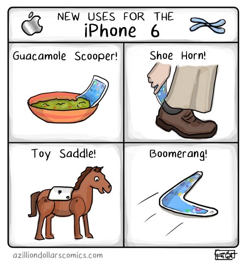
A Zillion Dollar Comics
Very Demotivational
Funny to Me
Tastefully Offensive
Very Demotivational
"Ben J. Pierce & The Adventure of The Ukelele" Smile
Funny to Me
Sober in a Nightclub
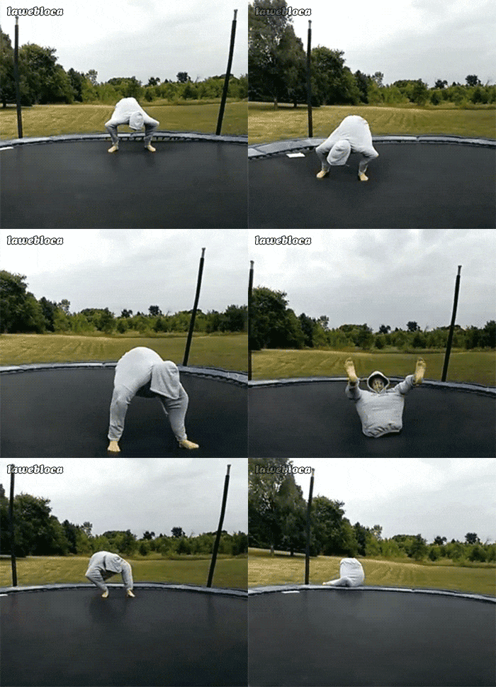
One of 19 trampoline fails at Funny or Die
Pie Comic
Afro-Pig
Happy Jar
Tastefully Offensive
Toothpaste For Dinner
Funny to Me
Derpy Cats
What Would Jack Do?
Tastefully Offensive
What Would Jack Do?
SMBC
Tastefully Offensive
Campanastan
Questionable Content
"In theory" Clay Bennett
Cyanide and Happiness
"Uh. We heard it was Band Book Day" Wil Wheaton
Bizarro
Surviving The World
The Onion
Savage Chickens
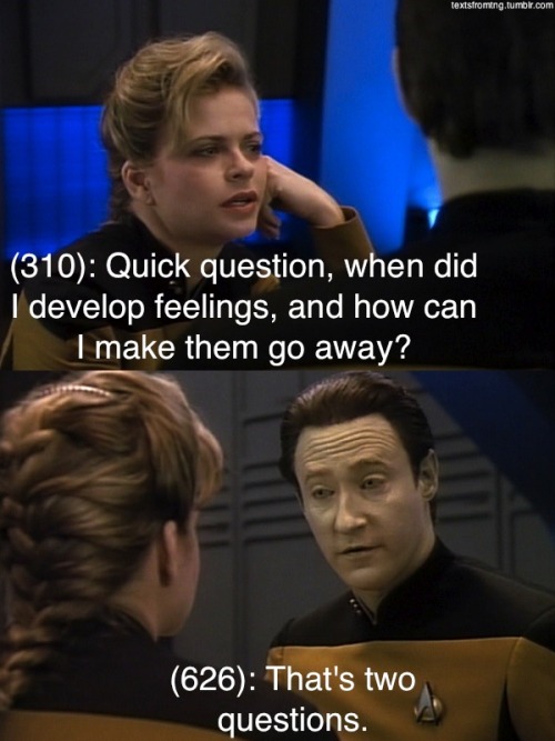
Texts From TNG
Senor Gif
Clay Bennett
Real Life Adventures
Yeah, you probably want to avoid pushing that left button. Tastefully Offensive
Happy Jar
"Teaching a freshman science class" What Should We Call Grad School
What Would Jack Do?
Tastefully Offensive
Poorly Drawn Lines
Texts From TNG
Tastefully Offensive
Bizarro
Pain Train Comic
Tastefully Offensive
Luke Surl
Bits and Pieces
SMBC
Bits and Pieces
Bits and Pieces
Bad Newspaper
"I want to believe." Tastefully Offensive
Tastefully Offensive
Funny to Me
Jim Benton
Derpy Cats
Matt Bors
Texts From TNG
Bits and Pieces
Danziger
ATheOkay
Savage Chickens
imgur
Blackadder
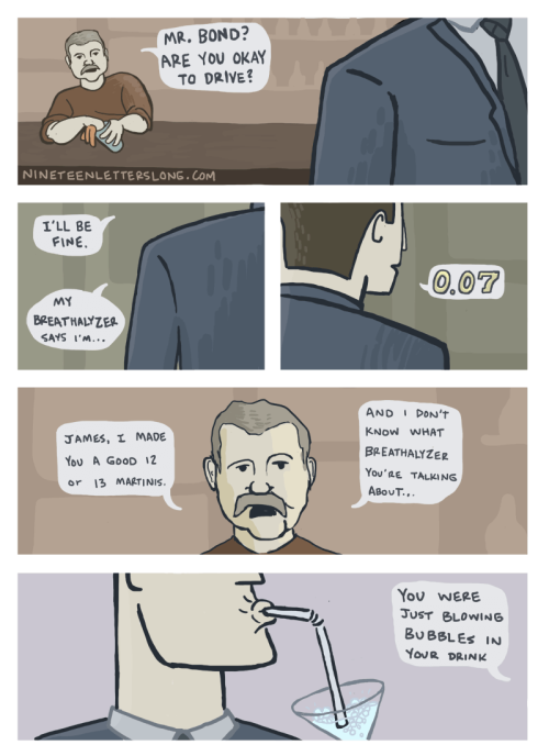
Nineteen Letters Long
Tastefully Offensive
Cyanide and Happiness
Fowl Language Comics
Bonus Panel from the above strip.
Funny to Me
Funny to Me
Cheezburger


