This is typically what slickensides look like in the field. Though this is somewhat weathered, and heavily colonized by lichen (light spots) and moss (dark green spots), the scratches, aka striations, are clearly evident. At the very least, these striations are so-called "bidirectional indicators," meaning that their orientation gives the observer two possible directions for offset. In this case that would be to the left and down about 20 degrees, or to the right and up about 20 degrees. In some cases, there are visible steps that would constrain motion to just one of those directions, though I've seen nothing here I would call persuasive. And as I recall, there was some controversy when I was an undergrad about the reliability of these unidirectional indicators. On the other hand, there have definitely been outcrops where running my fingertips in one direction along the slicks has met less resistance than in the other direction, even with visible steps apparently absent.
So in the end, given my background, training and experience, I tend to treat slickensides as bidirectional indicators, and speculate about which of the two possibilities was the actual offset direction only with caution.
Photo unaltered. August 5, 2012. FlashEarth Location.
Miscellaneous thoughts on politics, people, math, science and other cool (if sometimes frustrating) stuff from somewhere near my favorite coffee shop.
Friday, August 15, 2014
Geo 730: August 13, Day 590: Feelin' Groovy
Interzone's WiFi has been acting pretty rotten for several days now, and I had to run some errands yesterday, so things have become a bit backed up here at OTI. I'll try to get caught up today. Above, we can see some of the larger-scale gouging of the slickensided cliff up Quartzville road. Groovy, man!
Photo unaltered. July 9, 2012. FlashEarth Location.
Photo unaltered. July 9, 2012. FlashEarth Location.
Tuesday, August 12, 2014
Geo 730: August 12, Day 589: Dana For Scale
Another shot of the slickensided cliff face, on another trip, with Dana for scale. One thing that I learned on the trip this year is that I normally visit this spot fairly early in the day, before the sun has come around to illuminate it. We started out two or three hours later than usual on the most recent trip, and the difference in photo quality with and without much direct light is striking. The difference in person, maybe, not so much. But in person, other qualities, such as texture and depth, play a much bigger role in perception.
Photo unaltered. July 9, 2012. FlashEarth Location.
Photo unaltered. July 9, 2012. FlashEarth Location.
Monday, August 11, 2014
Geo 730: August 11, Day 588: Now That's Slick!
If you looked closely at the cliff below the volcanic neck in yesterday's photo, you might notice it seems to have a lineation to it, a pattern of what appear to be scratches (or you might not, it's subtle). However, in this closer view, the scratches are pretty much unmistakeable. These are slickensides, formed when two surfaces in a fault ground past each other during fault movement- which would have been perceived on the surface as one or more earthquakes. In the case of this cliff, the entire face is slickensided, or "slicked," as geologists sometimes abbreviate the term. Also, this is a fairly typical fault in that there are multiple, roughly parallel, fractures. We often draw or visualize faults as a line, or single break. But actually most larger faults have multiple, interweaving strands, and are more properly referred to as fault zones. When we map an area, a single line will often cover the entire zone at the map scale, but on the ground, as with most things geological, it's a little more complicated than just a single, simple line. (Hammer for scale in lower middle.)
Photo unaltered. June 14, 2014. FlashEarth Location.
Photo unaltered. June 14, 2014. FlashEarth Location.
Sunday, August 10, 2014
Geo 730: August 10, Day 587: Volcanic Neck II
Similar perspective compared to yesterday's shot, but with this one, @Geohols has walked into the frame, and her husband has driven their vehicle in as well. This doesn't give a good sense of scale (the truck is still a good 30-40 feet in front of the cliff, so there's a parallax issue), but it does give a better sense. With the pinnacle up on a cliff, and essentially inaccessible as far as I'm concerned, that's the best "for scale" you're going to get with this. Speaking of that cliff, though...
Since I'm standing in almost the exact same spot as yesterday's, the location cross hairs are on the pinnacle, rather than my preferred "where the photo was taken from."
Photo unaltered. June 14, 2014. FlashEarth Location.
Since I'm standing in almost the exact same spot as yesterday's, the location cross hairs are on the pinnacle, rather than my preferred "where the photo was taken from."
Photo unaltered. June 14, 2014. FlashEarth Location.
Sunday Funnies: Back to Sleep Edition
Sober in a Nightclub
"How I think I’ll look if I grow my beard out..."
"How I will look if I grow my beard out." Darius Whiteplume
Sober in a Nightclub
"Best dad joke in history." Tastefully Offensive
Sober in a Nightclub
Bizarro
Clay Bennett
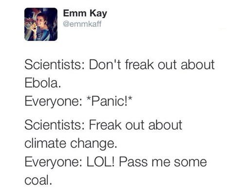
Emm Kay
Stivers Cartoons
Very Demotivational
"Jean Claude Van Damme's Daughter" Senor Gif
What Would Jack Do?
Via Tastefully Offensive
Real Life Adventures
Fake Science
Mr. Lovenstein (plus bonus roll-over panel)
Very Demotivational
Sober in a Nightclub
Sober in a Nightclub
"NaturalNews on how to treat Ebola with homeopathy" Paul Coxon
Blackadder
The Onion
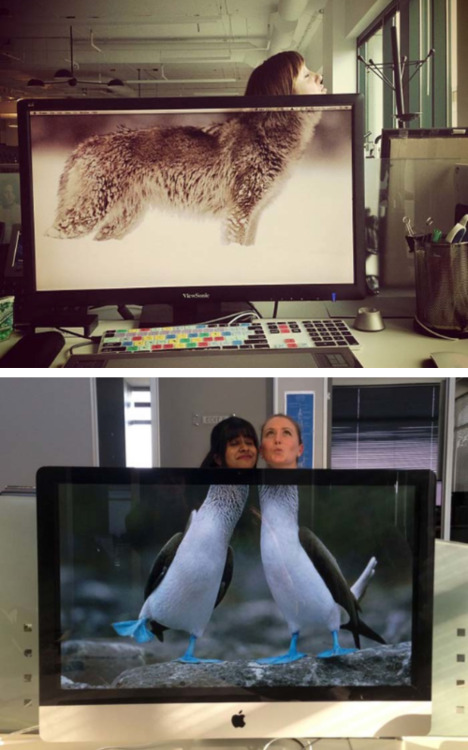
A selection of 20-some shots from "Desk Safari," a new-to-me Tumblr, at Tastefully Offensive.
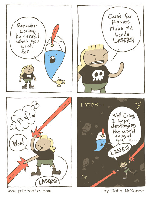
Pie Comic
Senor Gif
Tastefully Offensive
Funny to Me
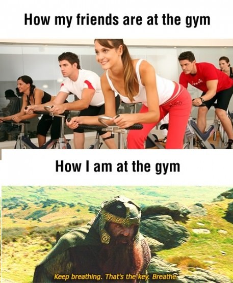
Lol. Just kidding. The above image illustrates what *I* actually look like at the gym.
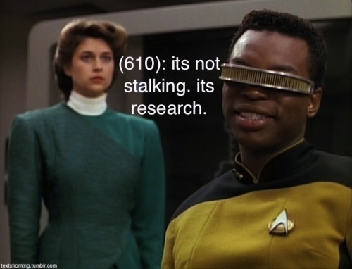
Texts From TNG
Are You Talking to Meme?
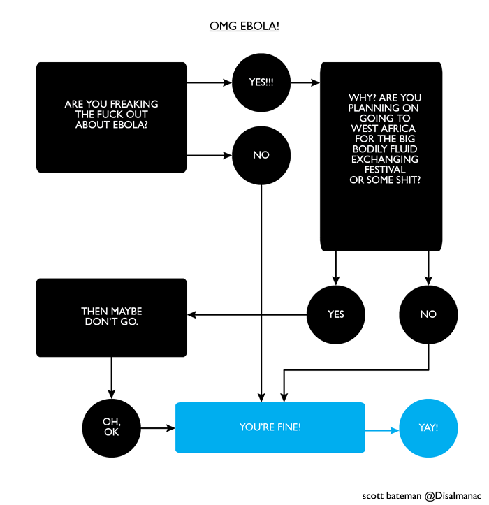
Scott Bateman at The Nib
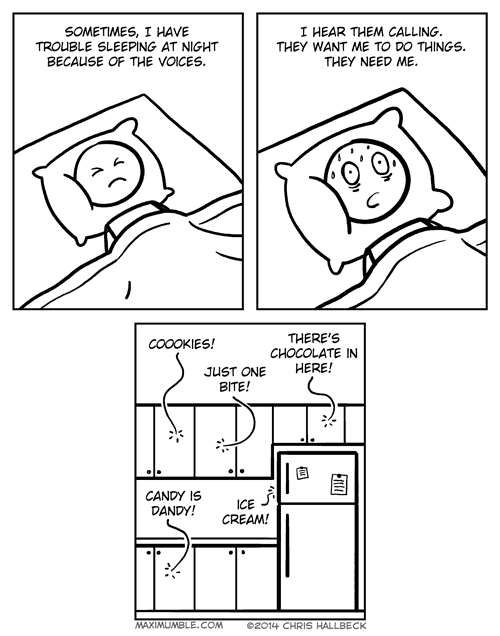
Chris Hallbeck
Bizarro
Tastefully Offensive
Tastefully Offensive
Blackadder
"Rocket and Groot," by Adi Fitri, via Saladin Ahmed.
What Would Jack Do?
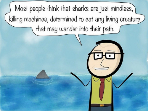
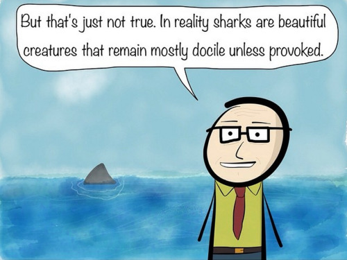
Terribly Drawn Comics
Bits and Pieces
Bits and Pieces
Tastefully Offensive
"20 mind-boggling shower thoughts" 18 more at Tastefully Offensive
Non Sequitur
Very Demotivational
Blackadder
Tastefully Offensive
"Wearing boxers on a hot day." Senor Gif
Fake Science
Bits and Pieces
Maximumble
Savage Chickens
Darius Whiteplume
Tastefully Offensive
The Frogman
Texts From TNG
"How I think I’ll look if I grow my beard out..."
"How I will look if I grow my beard out." Darius Whiteplume
Sober in a Nightclub
"Best dad joke in history." Tastefully Offensive
Sober in a Nightclub
Bizarro
Clay Bennett
Emm Kay
Stivers Cartoons
Very Demotivational
"Jean Claude Van Damme's Daughter" Senor Gif
What Would Jack Do?
Real Life Adventures
Fake Science
Mr. Lovenstein (plus bonus roll-over panel)
Very Demotivational
Sober in a Nightclub
Sober in a Nightclub
"NaturalNews on how to treat Ebola with homeopathy" Paul Coxon
Blackadder
The Onion
A selection of 20-some shots from "Desk Safari," a new-to-me Tumblr, at Tastefully Offensive.
Pie Comic
Senor Gif
Tastefully Offensive
Funny to Me
Lol. Just kidding. The above image illustrates what *I* actually look like at the gym.
Texts From TNG
Are You Talking to Meme?
Scott Bateman at The Nib
Chris Hallbeck
Bizarro
Tastefully Offensive
Tastefully Offensive
Blackadder
"Rocket and Groot," by Adi Fitri, via Saladin Ahmed.
What Would Jack Do?
Terribly Drawn Comics
Bits and Pieces
Bits and Pieces
Tastefully Offensive
"20 mind-boggling shower thoughts" 18 more at Tastefully Offensive
Non Sequitur
Very Demotivational
Blackadder
Tastefully Offensive
"Wearing boxers on a hot day." Senor Gif
Fake Science
Bits and Pieces
Maximumble
Savage Chickens
Darius Whiteplume
Tastefully Offensive
The Frogman
Texts From TNG


