Another loose boulder on the north side of Sunset Bay State Park This one shows a very nice cut-and-fill structure. Flow concentrated in a restricted area gouged out a small channel, which was later refilled with sediment. This is another structure that allows determination of stratigraphic "up." First, when a sequence is cut, the sequence is older than the feature doing the cutting- so in this case, the set of beds being cut into by the channel is older than the channel doing the cutting. Second, in a stack of sedimentary layers, the layer on top is younger. Combining those two principles makes it clear that from the perspective we're viewing it, the rock above is upside-down in a stratigraphic sense.
As it happened, we were at Sunset Bay as sunset approached; the low angle and warmer quality of of the light is apparent in this photo.
Photo unmodified. March 8, 2012. FlashEarth location.
Miscellaneous thoughts on politics, people, math, science and other cool (if sometimes frustrating) stuff from somewhere near my favorite coffee shop.
Saturday, February 16, 2013
Friday, February 15, 2013
Geo 365: Feb. 15, Day 46: Flames at Sunset
Flame structures in a loose boulder at Sunset Bay State Park, Oregon. Lens cap is about 52 mm in diameter. The pointy bits go in the direction of stratigraphic "up," while the blunt, lobate bits indicate stratigraphic "down." So this rock happens to be oriented vertically in roughly the same position in which it was originally deposited. It may have been rotated, though.
Photo unmodified. March 8, 2012. FlashEarth Location.
Photo unmodified. March 8, 2012. FlashEarth Location.
Thursday, February 14, 2013
Geo 365: Feb. 14, Day 45: Sunset Soft Sediment Deformation
Ball-and-pillow and flame structures in sand/siltstone on the north shore of Sunset Bay. Ball-and-pillow structures form when sediment of higher density ends up on top of sediment of lower density. Blobs of the upper material can then sink into the lower material. The lower material gets pushed up, typically in sharper, wavering, plumes, creating flame structures. In this case, they're mostly confined to what is likely a layer of siltstone running roughly through the middle of the photo, underneath a more resistant bed of sandstone. I couldn't get anything into the shot for scale, but as I remember, the bed of sandstone is about a foot thick.
There are a wonderful lot of colorful and fascinating sedimentary structures in this area, but due to the fact the park closed at 6 PM, we didn't have as much time as I'd hoped to poke around on this trip.
Photo unmodified. March 8, 2012. FlashEarth Location.
There are a wonderful lot of colorful and fascinating sedimentary structures in this area, but due to the fact the park closed at 6 PM, we didn't have as much time as I'd hoped to poke around on this trip.
Photo unmodified. March 8, 2012. FlashEarth Location.
Wednesday, February 13, 2013
Geo 365: Feb. 13, Day 44: Sunset Structures
On the north shore of Sunset Bay, numerous faults cut the marine terrace- these are even apparent in the FlashEarth view! The cross hairs in that location are approximately where I was standing when I shot this photo, looking to the north west.That image was captured between high and low tides; we were here intentionally for a negative tide- a tide lower than the mean of the lower of the two daily low tides. If you want to enjoy the tidal zone, whether it's for geology, biology/tidepooling, or simply sight-seeing, you need to pay attention to the tide tables. Numerous examples are online; here's the source I tend to use. Negative tides give you an opportunity to get to lower areas, and spend a bit more time in them. Also, pay close attention to the time of the minimum, and when that time passes, start working your way back towards higher ground- no need to rush, just be aware that the ocean is now coming at you, and can easily trap you in a dangerous or fatal spot if you don't pay attention.
Above is an annotation of the top photo, showing a major fault and a minor subsidiary- again, these are plainly visible in the FlashEarth view. A single prominent, resistant, bed of sandstone has been split into three slabs, which rise above the surrounding terrace. The flat ground surface of the bluff top suggests an older, raised terrace, and the horizontal sediment below it helps confirm that. It's not clear to me whether the term "angular unconformity" is reserved for structures where all the components are fully lithified. If it is, the above is a "fake" example of an angular unconformity.
Photo unmodified. March 8, 2012. FlashEarth Location.
Tuesday, February 12, 2013
Geo 365: Feb. 12, Day 43: Puzzled
Dana asked why the rocks were so tightly bent at the knickpoint where the beach met the cliff. Then very puzzled when I told her they weren't. I'm not certain she has the idea of strike and dip down well yet, but I know this spot moved her closer to understanding the concepts.
Photo unmodified. March 8, 2012. FlashEarth location.
Photo unmodified. March 8, 2012. FlashEarth location.
Monday, February 11, 2013
Geo 365: Feb. 11, Day 42: Sunset Bay
Looking north from the south side of Sunset Bay State Park, Near Charleston, Oregon. There's a set of three state parks along this bit of coast- the other two are Shore Acres and Cape Arago. Together, they make up my absolute favorite spots on the coast. Other spots may have more unusual geology, but the rocks here are outstanding, and the scenery is unforgettable.
Here, we're standing on a wave-cut terrace of steeply-dipping sedimentary rocks; the strike of more resistant beds is apparent in the foreground. There's another wave-cut platform across the bay, though it's not as obvious from this perspective. The dip of the beds is visible in the distance.
There's a fault described as strike-slip between the side this view is from, and the opposite side, and the gentle arc to the left in the foreground strike ridges has been identified as drag folding associated with that fault. However, as I mentioned in a post shortly after this trip (toward the end of this one), I'm not sure it's as straightforward as all that.
Photo unmodified. March 8, 2012. FlashEarth Location.
Sunday, February 10, 2013
Sunday Funnies: Billboard Edition
Optipess
What Would Jack Do?
Kelly Angel
Tastefully Offensive
Senor Gif
Funny to Me
Funny to Me
Bits and Pieces
Perry Bible Fellowship
Tastefully Offensive
Julia Segal
Bug
"When my parents keep suggesting I switch my major to something Pre-Med related" Geology is Hard
Tastefully Offensive
Historic LOLs
... or "Walken cooler." Tastefully Offensive
Imgur
Seismogenic Zone
xkcd
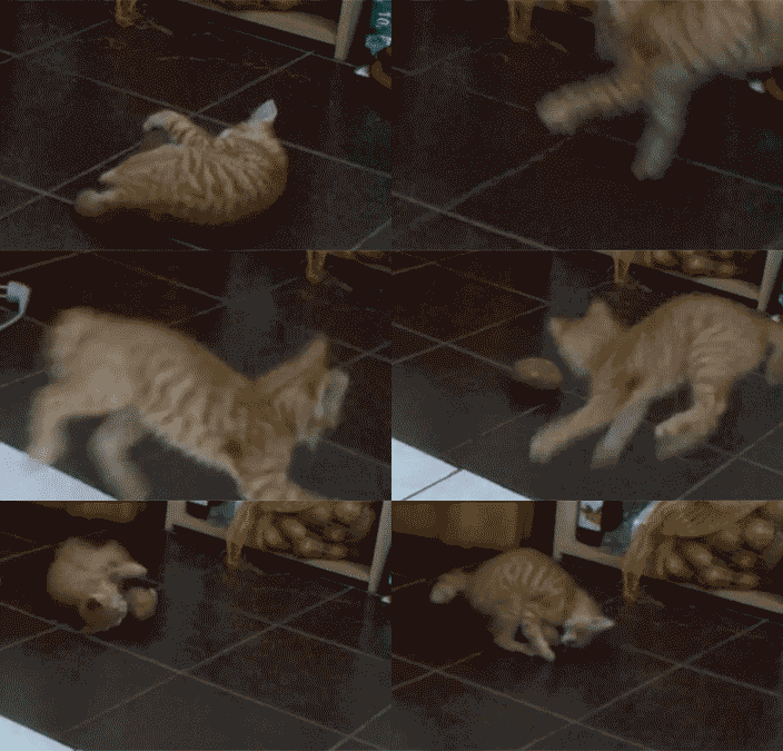
"What goes on in a cat's brain" Cheezburger
The Far Left Side
Tastefully Offensive
Bits and Pieces
SMBC
Matt Bors
Amazing Super Powers
Blackadder
The Argyle Sweater, via Tastefully Offensive
The Argyle Sweater
Bits and Pieces
Reddit
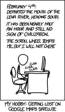
"Expedition" xkcd
Senor Gif
Funny to Me
Historic LOLs
The Frogman, via Bits and Pieces
What Would Jack Do?
Kelly Angel
Tastefully Offensive
Senor Gif
Funny to Me
Funny to Me
Bits and Pieces
Perry Bible Fellowship
Tastefully Offensive
Julia Segal
Bug
"When my parents keep suggesting I switch my major to something Pre-Med related" Geology is Hard
Tastefully Offensive
Historic LOLs
... or "Walken cooler." Tastefully Offensive
Imgur
Seismogenic Zone
xkcd
"What goes on in a cat's brain" Cheezburger
The Far Left Side
Bits and Pieces
SMBC
Matt Bors
Amazing Super Powers
Blackadder
The Argyle Sweater, via Tastefully Offensive
The Argyle Sweater
Bits and Pieces
"Expedition" xkcd
Senor Gif
Funny to Me
Historic LOLs
The Frogman, via Bits and Pieces
Geo 365: Feb. 10, Day 41: Waiting for the Worm
Dana and I planted our thumper and waited. But the worm never came. Looking roughly south from the first dune south of the path's exit to open sand at Eel Creek Recreation Area.
Photo unmodified. March 8, 2012. FlashEarth Location- cross hairs on day-use parking area.
Photo unmodified. March 8, 2012. FlashEarth Location- cross hairs on day-use parking area.






.jpg)
